How to get there
This is the route I took from Glenrowan to Mt Beauty. Click the More options link on the map to enlarge it.
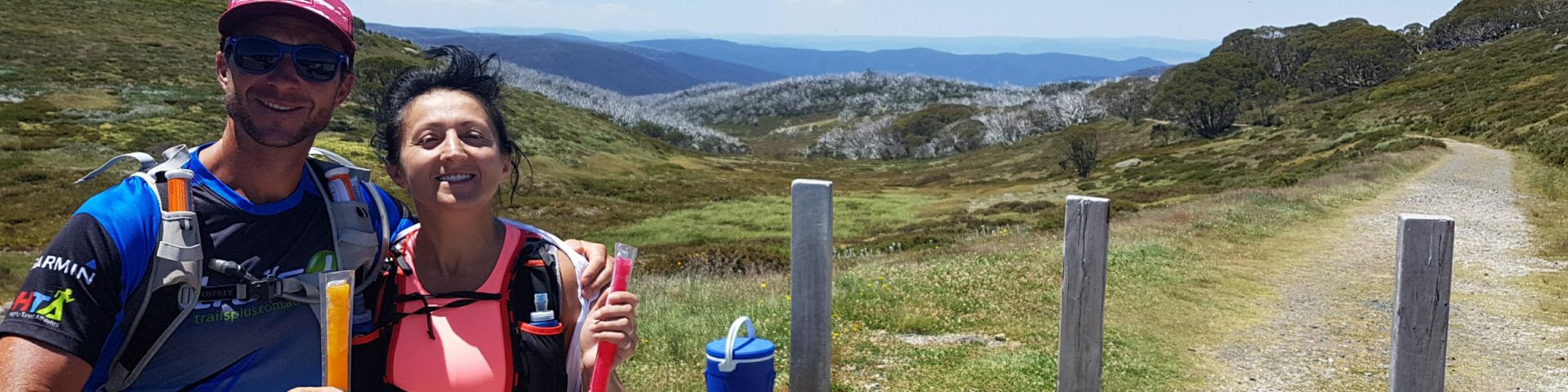
Strava Activity
Feel free to study this activity.
Total distance: 28.01 km
Max elevation: 1825 m
Min elevation: 1364 m
Total climbing: 1065 m
Total descent: -872 m
Total time: 05:48:03
Download file: Sweeping_the_B2H_second_half_with_Dan.gpx
Max elevation: 1825 m
Min elevation: 1364 m
Total climbing: 1065 m
Total descent: -872 m
Total time: 05:48:03
Amenities
As far as I know, there are no toilets at Langfords Gap. There is parking off the road and there is water in the aqueduct.
There are toilets at Cobungra Gap and the water in Cobungra Creek is nice and fresh – I didn’t treat it. I haven’t seen water at Derricks Hut, but there are some streams after passing it. That water might need treating. Nothing after that.
Friendly advice
Here are some thoughts that might be useful before heading out on an adventure like this:
- Always check the weather, ask around a local or someone who’s been there a day before
- Carry enough food and water and take your charger and torch (just in case)
- Get the Bogong Alpine Area – Spacial Vision Map or the official course maps
- Carry a PLB, alternatively keep someone updated about your progress. Garmin has LiveTrack, Strava has Beacon. If you have a smart watch, these can work together very well wherever there is network coverage
- Take some good wound dressings with you (extras, too), very easy to fall and scratch yourself
- Wear something that covers your legs—those pesky grasses can really hurt
- Take your poles, they will help you both up and down (especially on Swindlers Spur)
Hope all this info has helped.