17 July 2019
My fingers are just starting to thaw and the shivering has stopped – all thanks to a nice serve of scotch.
Taking Riverside Rd/Kelly Rd was a great idea – thank you my friend, you know who you are.
It was a pleasant air when I started, then it gradually got cooler, then freezing. I could not find one dry square cm on my body.
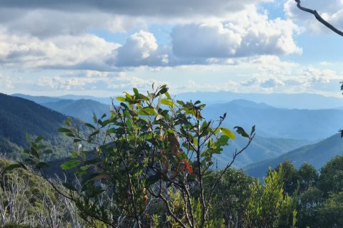
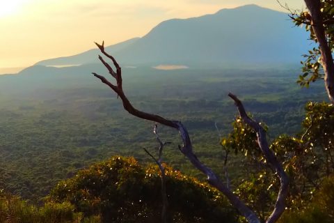
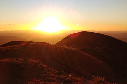
Took plenty of pictures on the outbound leg, until it started raining and I realised I have to step on it if I want to finish before it gets dark. I had the torch with me but I didn’t want to run that track with it.
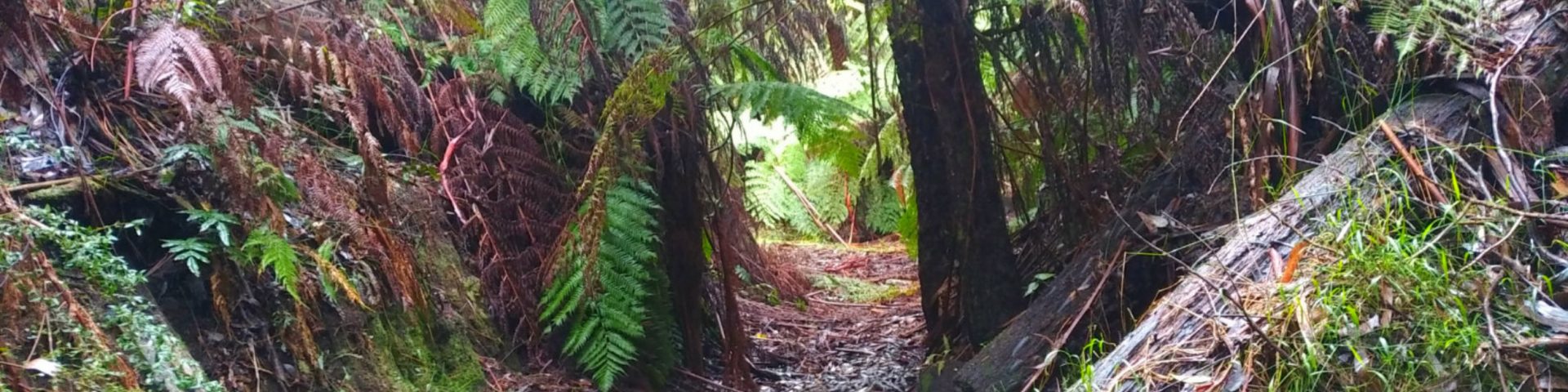
So much mud, it just wasn’t funny! Might as well register for Tough Mudder 😀 That “dangerous creek crossing” lived up to its name this time (didn’t bother with photos, sorry). First step went straight into mid leg deep mud, the rocks were under water… no dry crossing here. Both ways!!
So many fallen trees, some with leaves which was a pain in the ass to get through/around/under/over. Tripped several times, hit the back of my legs (the Achilles tendon was the most painful), slipped and fell on one of the board bridges (no chicken wire on it and it was too late by the time I realised), then a couple of more times when trying to get over fallen trees – they were slippery, cold and piercing.
Saw a few lyre birds, about 7 youngsters at Stirling’s Camp Ground – said hello when I passed the first time, but they completely ignored me on the return leg.
Damn leeches got me!! Kept checking and getting rid of them whenever I could, but one had a good feast of my blood, had to remove it with salt when I got back to the car.
Have no idea why the GPS did what it did, it happened when I stopped to reply to Otto’s text once I was back on the road.
Did 15 push ups at every 5 kms up to 30 kms – after that it was racing the time.
Oh, and I backed into the bench when I was leaving…
Map
Max elevation: 823 m
Min elevation: 160 m
Total climbing: 1343 m
Total descent: -1304 m
Total time: 08:58:06