How to get there
This is the route I took through Belgrave. Click the More options link on the map to enlarge it.
Strava Activity
Feel free to study this activity.


Amenities
There are quite a few toilets along River Walk and of course in the cafes, too. I found a little BBQ area with parking on Dammans Road, very close to Martyr Road. There is a toilet block on the opposite side of the road with potable water.
The Visitor Information Centre only opens at 10.00 A.M., but if there is someone inside a few minutes earlier, they’d let you in and help you out. They stock the map that one can use for this trip: McMahons Creek 8022-N 1:50 000, but the best map would be Juliet South 8022-4-S 1:25 000. The latter is more detailed. I have already been on this route, so I didn’t need a map.
Friendly advice
Here are some thoughts that might be useful before heading out on an adventure like this:
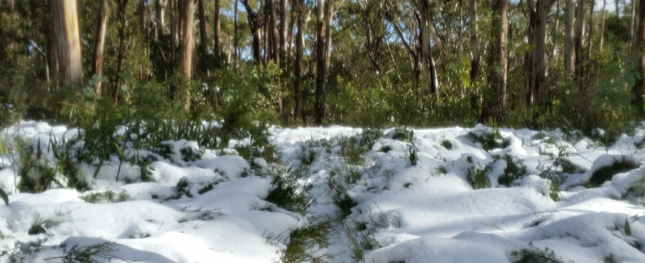
- Always check the weather, ask around a local or someone who’s been there a day before. I haven’t done this and the snow surprised me
- It is better not to do this course after a lot of rain, the track is very slippery. Again, I didn’t take my own advice and had a mud fest.
- Carry enough food and water, especially when it’s cold
- Get the 8022-4-S Juliet South, 1:25000 topographic map series from VicMap
- Carry a PLB, alternatively keep someone updated about your progress. Garmin has LiveTrack, Strava has Beacon. If you have a smart watch, these can work together very well wherever there is network coverage
- Take some good wound dressings with you (extras, too), very easy to fall and scratch yourself
- Wear something that covers your legs—especially after/during rain
- Take your poles, they will help you both up and down. Alternatively, pick up two sticks from the Mt Donna Buang trailhead. There is always some around the sign.
Hope all this info has helped.