How to get there
This is the route we took from Glenrowan to Cope Hut. Click the More options link on the map to enlarge it.
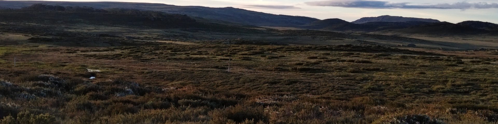
Strava Activity
Feel free to study this activity.
Total distance: 80.39 km
Max elevation: 1748 m
Min elevation: 408 m
Total climbing: 3782 m
Total descent: -3794 m
Total time: 23:02:25
Download file: AC_overnight_miler_loop_wih_Tay_more_of_a_hike.gpx
Max elevation: 1748 m
Min elevation: 408 m
Total climbing: 3782 m
Total descent: -3794 m
Total time: 23:02:25
Amenities
There is not toilet at this parking spot, make sure you stop in Falls Creek, otherwise next toilet is at Cobungra Gap.
Friendly advice
Here are some thoughts that might be useful before heading out on an adventure like this:
- Always check the weather, ask around a local or someone who’s been there a day before. There were floods a week before we went and we kept in touch with Parks Victoria regarding track access. This is the link http://parkweb.vic.gov.au/explore/parks/alpine-national-park
- Carry enough food and water and take your charger and torch (and spare batteries). This was a self supported overnighter
- Get the Bogong Alpine Area – Spacial Vision Map or download Map 3 form the Running Wild website
- Carry a PLB, alternatively keep someone updated about your progress. Garmin has LiveTrack, Strava has Beacon. If you have a smart watch, these can work together very well wherever there is network coverage
- Take some good wound dressings with you (extras, too), very easy to fall and scratch yourself
- Make sure you take your bad weather gear, the temperatures can fall suddenly at sunset and during the night
- Take your poles, they will help you both up and down (especially on Westons, Swindlers, Bon Accord and Bungalow Spurs)
- Take some money with you, the coffee shop is open in the morning and the espresso works a treat
- Don’t rely heavily on the spring after Westons Hut, make sure you fill up in Kiewa Ck
- If you get to Washington Ck in the dark and the creek is not high, it makes it easier to cross near the bridge, on the left – the trail is just on the other side. It is now marked with yellow tape. I also found the bridge ok to cross, then two steps in the water before reaching the other bank and the track
- Flies and ants are really agressive, take some insect repellent if you want
Hope all this info has helped.