How to get there
This is the route I took from Leongatha to Tidal River. Click the More options link on the map to enlarge it.
Strava Activity
Feel free to study this activity.
Total distance: 62.21 km
Max elevation: 318 m
Min elevation: -60 m
Total climbing: 2612 m
Total descent: -2624 m
Total time: 12:21:31
Download file: Wilsons_Prom_60_didn_t_go_to_plan_but_the_dip_at_Waterloo_Bay_was_so_worth_it.gpx
Max elevation: 318 m
Min elevation: -60 m
Total climbing: 2612 m
Total descent: -2624 m
Total time: 12:21:31
Amenities
There are several toilets and showers in Tidal River, the nearest block is just across the road between the Information Centre and the General Store. I parked just oposite the Information Centre.
Friendly advice
Here are some thoughts that might be useful before heading out on an adventure like this:
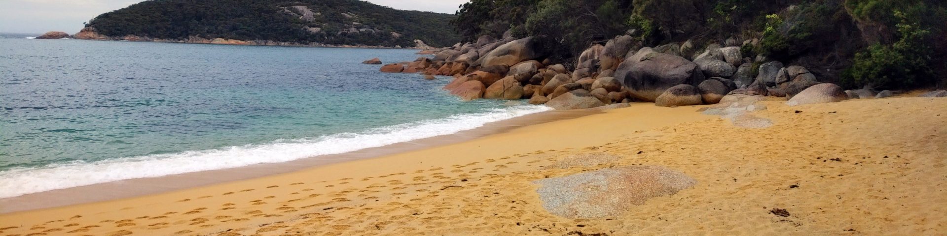
- Always check the tides at Sealers Cove. There is no data for Sealers but there is for Refuge Cove here https://tides.willyweather.com.au/vic/gippsland/refuge-cove.html – the creek crossing at Oberon Bay has never been higher than to the knees, but if it’s dark and foggy, the beach exit is hard to find
- Carry enough food and water—there is no guarantee water is available at the camp sites or the springs
- Get the Wilsons Promontory Special or the Running Wild official course map
- Carry a PLB, alternatively keep someone updated about your progress. Garmin has LiveTrack, Strava has Beacon. If you have a smart watch, these can work together very well wherever there is network coverage. Phone reception is not that good
- Take some good wound dressings with you
- Be prepared for any weather. There might be showers and wind on one side of the peninsula and nice and sunshine on the other
- Do not take your poles, they are pretty much useless on this course
- For anyone worried about getting lost on this course—it’s impossible. Just stick to the tracks and follow the signs. When going there the first time make sure you consult your map where you are not sure
Hope all this info has helped.