AC miler – turned AC 100 km
25-26 November 2017
Really missed the briefing this year. It’s a great show, I hope Paul is going to put it back on the program.
Otto told me he can’t make it as support this year – so the crew was like this: poor Nelu and Ani (tired since Europe) in Harrietville and Suzie at Langfords and Pretty Valley. Suzie couldn’t leave Melbourne earlier, so I organised some food to Warby Corner – Christian Day was really kind to offer.
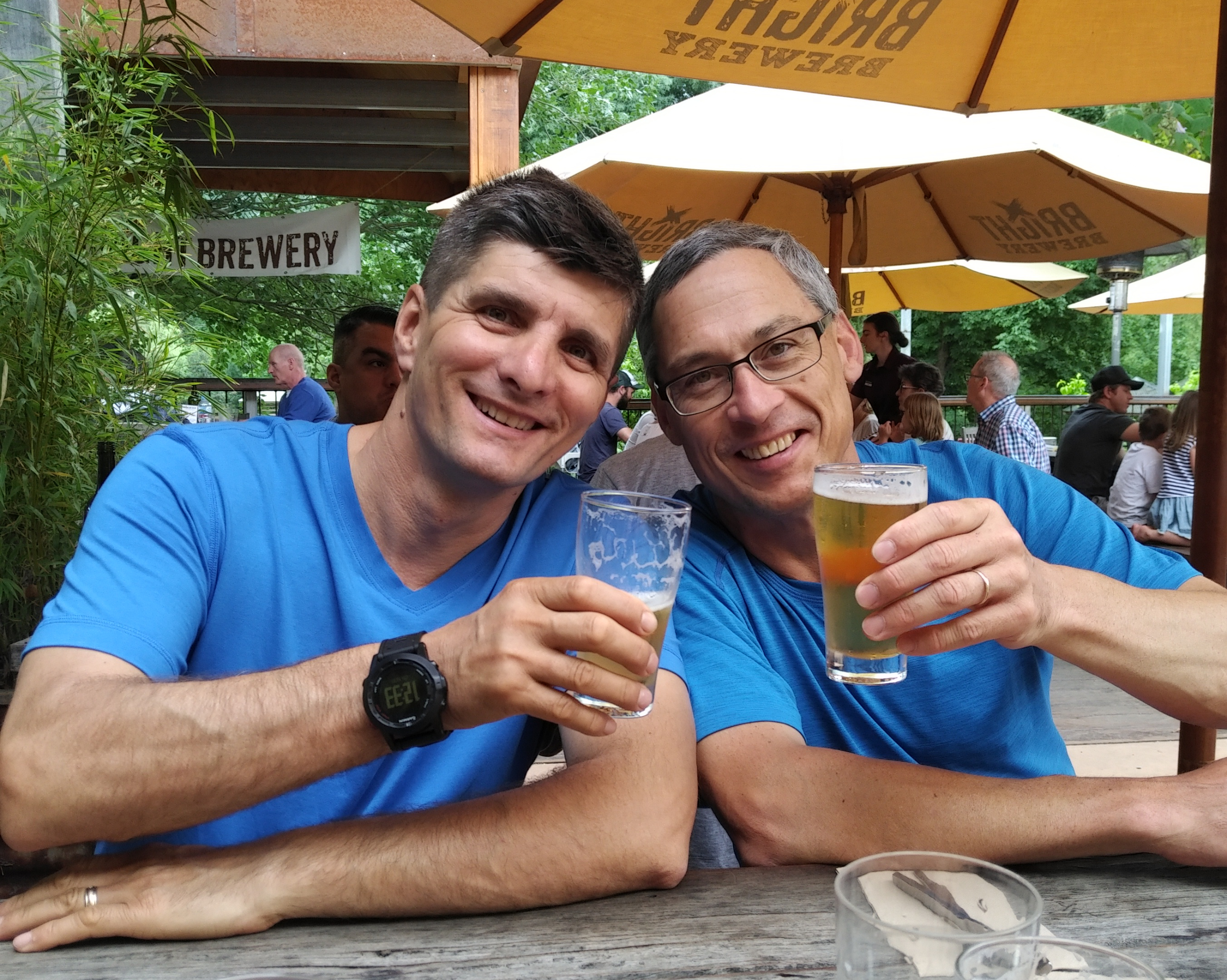
I’ve seen Ben at Spine Consultants for a quick check up, then headed to Falls Creek with a few stops in between – Bright Brewery was one of them. Bought a pizza and two six packs, then smelled the pizza for an hour and bit until I finally checked into the room and wolfed down two slices on the spot.
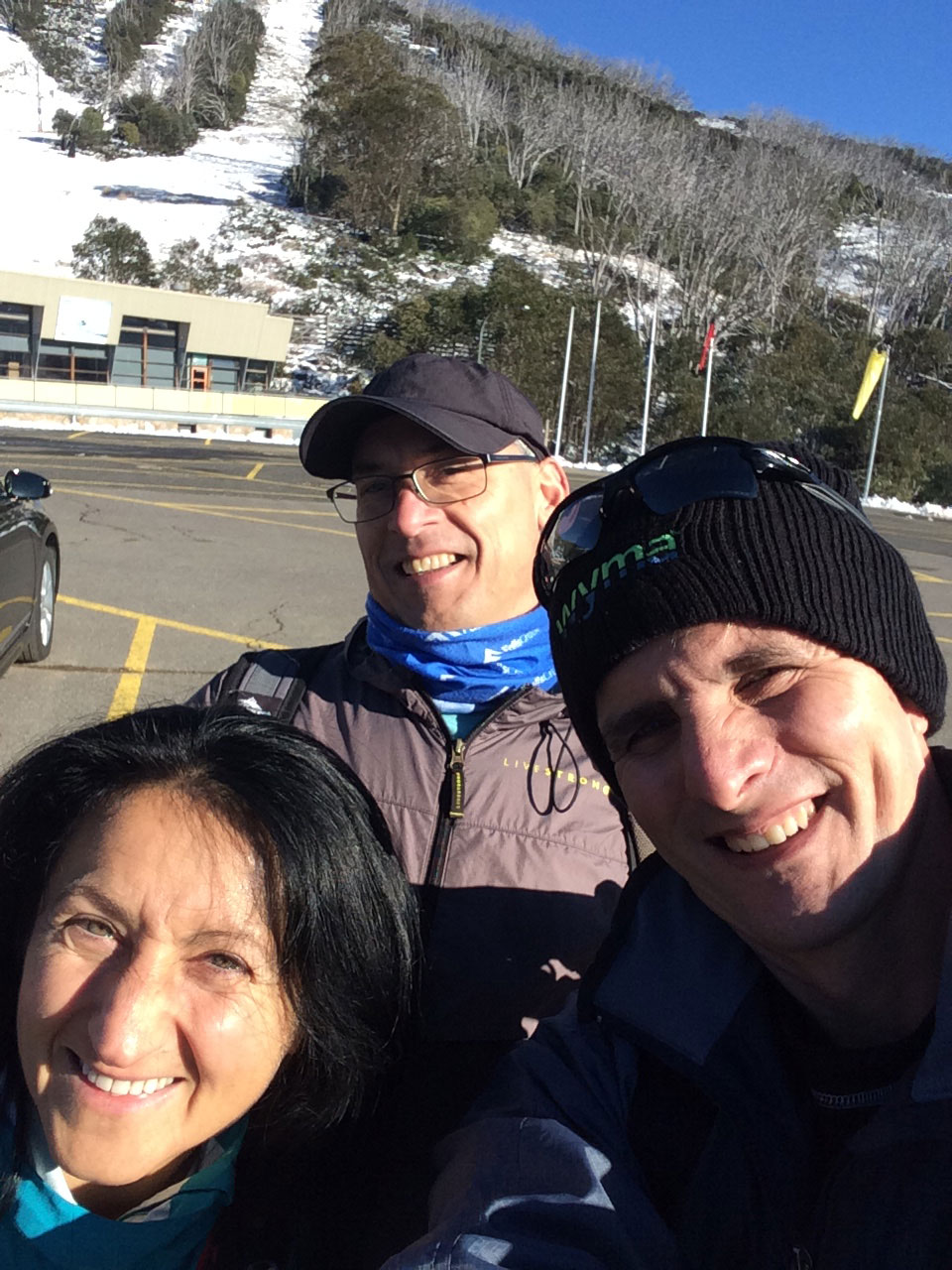
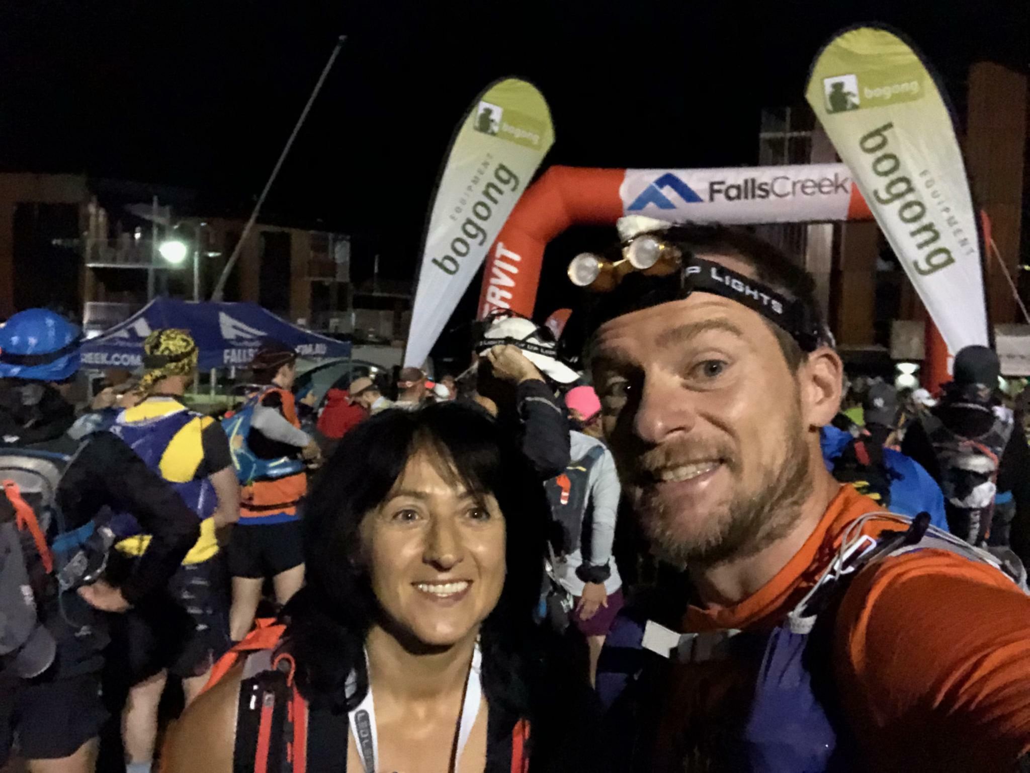
It was nice to see Jacqui’s smile at the Country Club Hotel, then Carole’s at registration. John, who did the gear check told me he’s sorry he can’t get me a cold beer to Pole 333 – he remembered from Razorback, where he manned the checkpoint in March.
Missed out on the first Q & A session, so waited a bit for the second. In his usual low key style, Paul gave us a quick run-down about the course and what to expect, then after a few questions people went to mind their business. I guess I was the last one to go to bed that night – at 10:30 still packing my food and posting on facebook about a spare Ay Up battery/charger (forgot the charger at home). Thank you George Mihalakellis for offering.
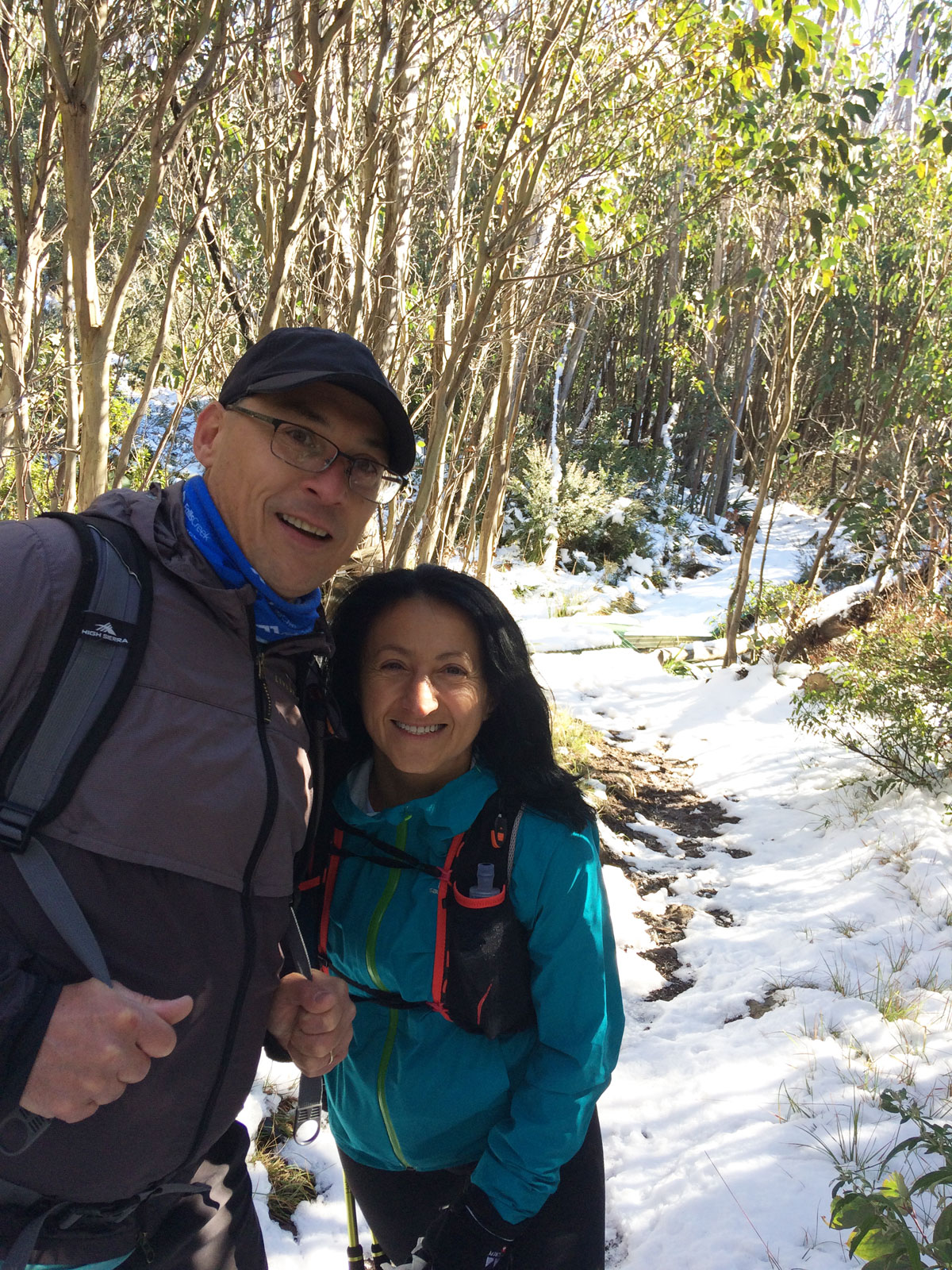
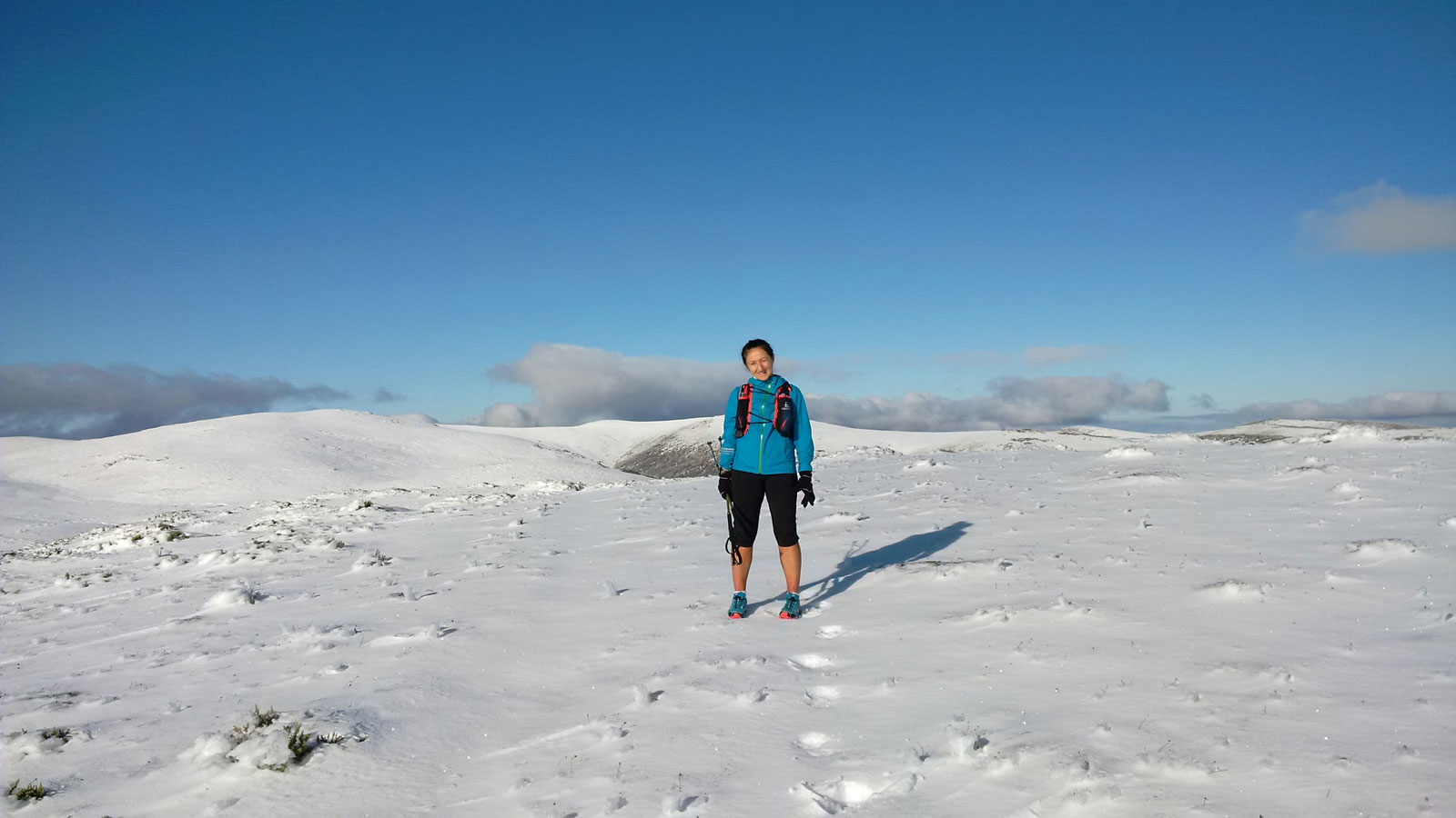
When the alarm went off at 3 AM, I suddenly didn’t know where I was. This is what sleeping in several places does to you! Made the coffee, had a few bites, a shower, got dressed and headed to the start line with Jacqui and Darren, then Celesta and Adrian caught up with us. In the starting chute I saw Gabor (we took a selfie), met Kate Sanderson (such a lovely lady!!) and said hello to a few more runners around me. Paul said something about a storm (??), but we couldn’t hear well at the back, so just waited for the countdown and off we went. I was glad the watch started the LiveTrack properly, so there was no need to fiddle with it as I did last year. The weather was just perfect for running. I was hoping we’ll get some rain along the day…

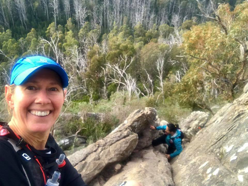
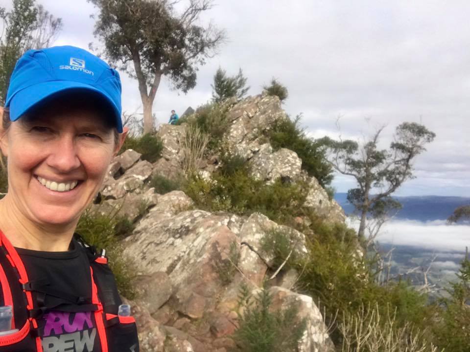
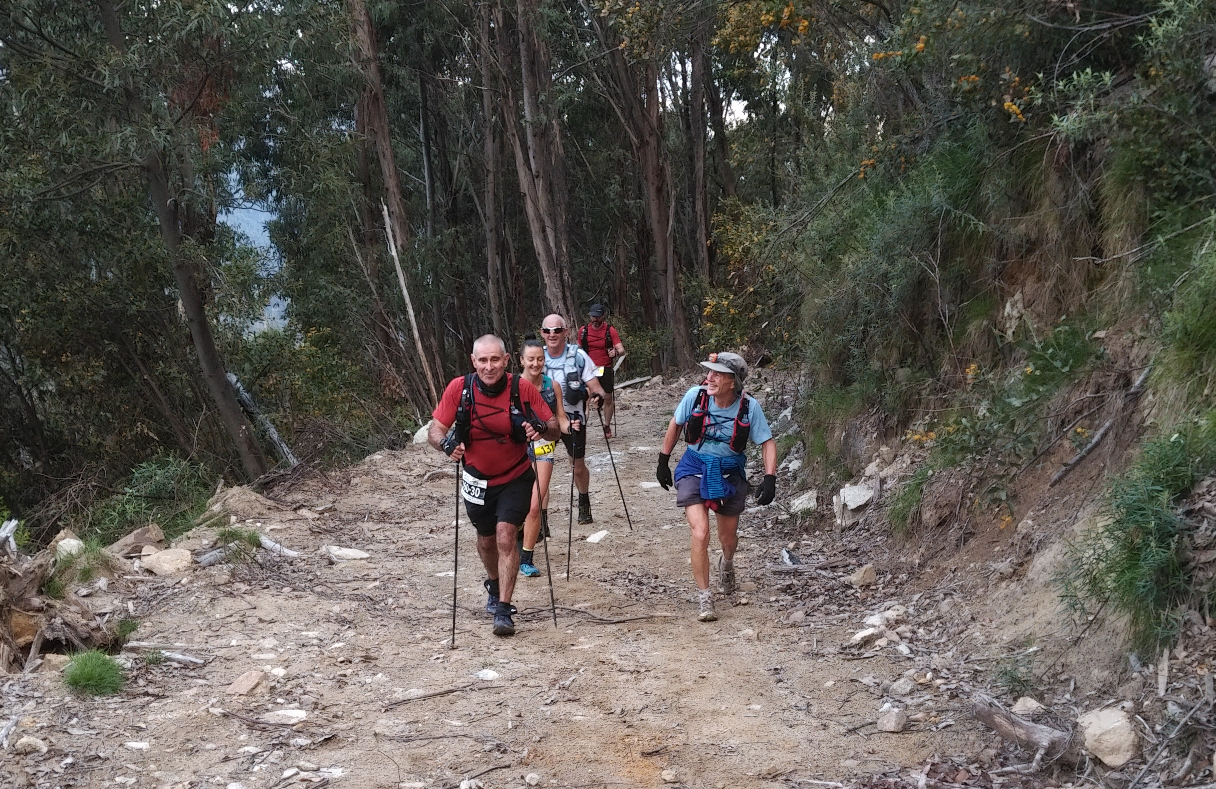
Ran between Celesta and Todd [Freestone] until Junction Spur, chatting away. I ran with Todd at Lysterfield a few times, with the group before. I stopped the head torch, there was enough light to run safely on that track. Overtook a few people, then I was overtaken by others. The steep part was still steep, then on Spion Kopje Tk I saw two guys, one of them taking his top off. I told them “I didn’t order a pole dancer!!” and we all laughed.
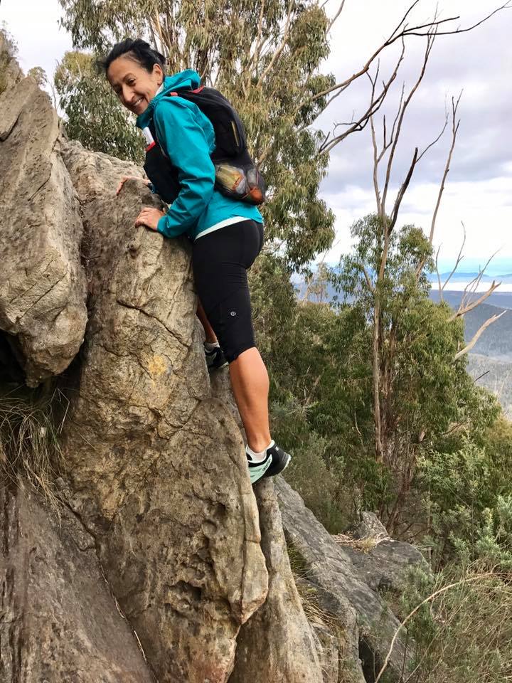
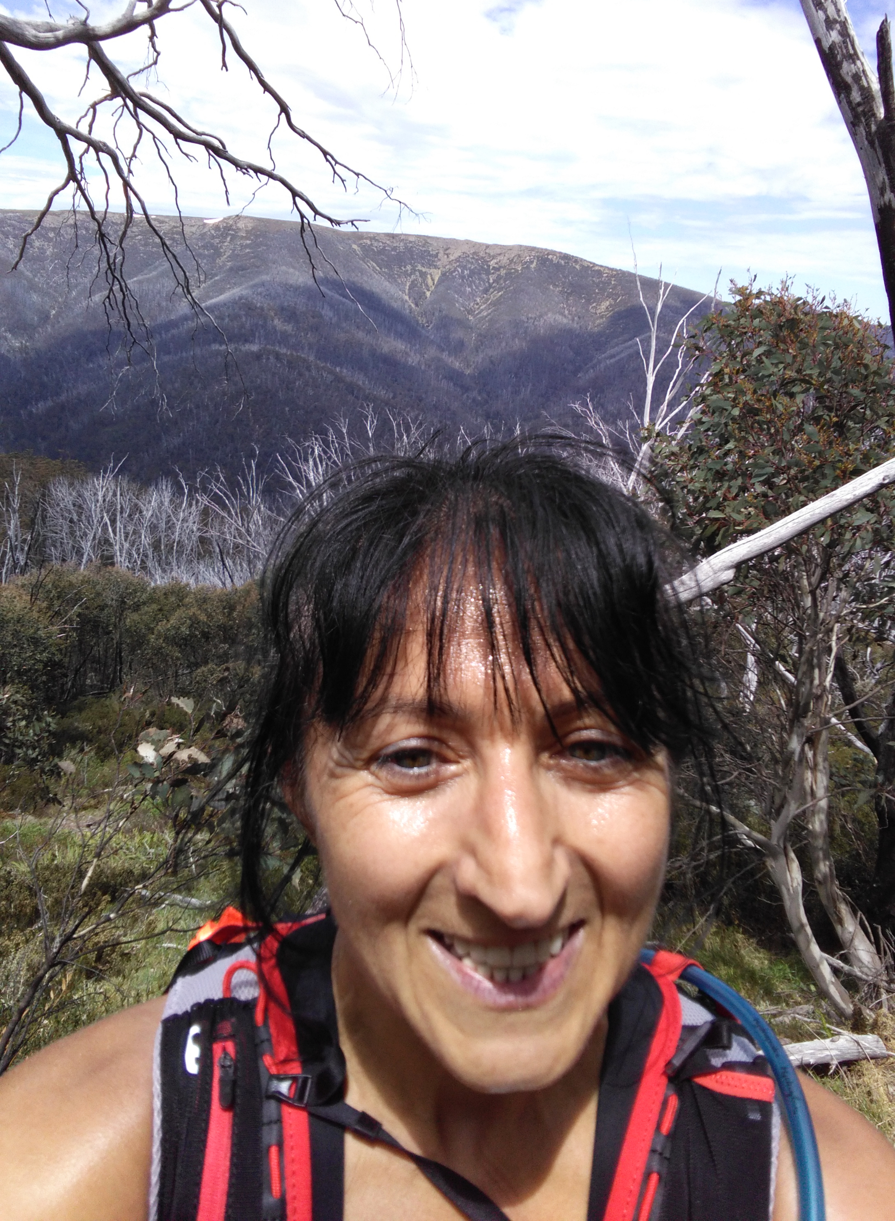
This year I decided I’ll save time and won’t take off my shoes at the water crossings. I bought a pair of Salomon Sense Pro Max, the specs said high breathability – I thought I’ll be good. Took a pair of spare socks with me, just in case and planned to put them on around Cleve Cole. Crossed Rocky Valley Creek, the water was nice and cool, but that sloshing after?!!!… pain in the ears! As I started climbing, I’ve passed a few people, then again was passed by others, until someone shows up next to me and said he’s the pole dancer. That was so funny!! Great sense of humour! That was Frank [van Haren]. We kept talking and found many common things apart from trail running. Stopped for pictures every now and then and managed to get to Warby in record time (for me).

Velta was taking pictures just before Warby – awesome shots!! Checked in, grabbed my food, had a piece of banana and Otto rang to congratulate me on how well I was doing, as he could see me on the map. That was such a nice thing!! Told Frank that I’ll have to stop at Ropers, so he continued with his friend, Sean. I caught up with Tamyka and Stephanie – Tamyka wasn’t feeling that well, but she said she’ll be all right. At Ropers, I did a toilet stop, then went on. Didn’t rush down on Duane Spur as last year. I bumped into Ian (sorry don’t know his surname), who was checking his phone and map. Told him he can’t get lost here, there is only one track all the way to Big River. I passed a happy couple, exchanged a few words. They caught up with me at the crossing, then swiftly passed me on the hike. Especially the lady was going so strong, I was amazed.
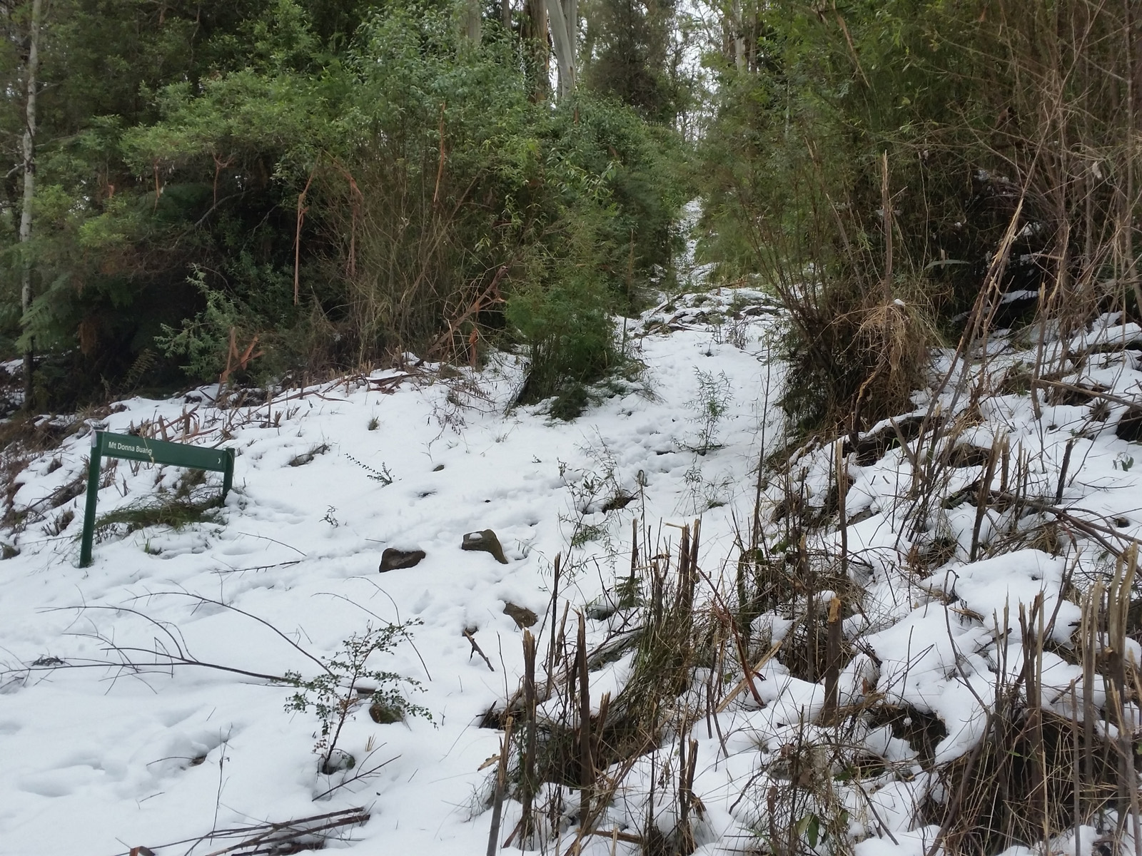
Last year I pushed too fast on T Spur, trying to keep up with Lesley and Ryan [Noreiks], but now I decided to save my energy – it’s going to be a looooong day. The sloshing started to make me think this is not a good idea – need to put those dry sock on, otherwise it will be blisters later… so I looked for a tree across the track. Dunno who put it there, but it looked like it was especially for me. Sat down and changed the socks. In the mean time Tamyka and Steph caught up and passed (there was a lot of this during the day and night) – Tamyka even making a remark about changing socks being a good idea before it becomes an issue. Then I bumped into Thomas, trying to fabricate some poles from sticks. Told him about the trail head at Mt Donna Buang and the poles that line up for everyone to take.
It started to get warm, the ants were nuts, running up my feet and legs every time I stopped or slowed down. The flies weren’t pleasant, either. I have taken Gabor’s advice and ate every half an hour. A little something, but I ate. This seemed as a great strategy – it was working, but I was really looking forward to the cold water at Madison Creek. When I got there, Tamyka and Steph were already filling up/getting ready to fill up, chatting away cheerfully. I filled up my soft flask, too and wetted my triangle bandage. I am sure I’ve taken Tamyka’s spot – sorry Tamyka!! They took off and I went, too. They were using the run/walk strategy and got to Cleve Cole a few minutes earlier.
As I was approaching the check point, a SAAR volunteer was coming from the opposite direction. He asked me if I saw an injured runner. Told him I only saw Ian behind me and he wasn’t injured when I spoke to him.
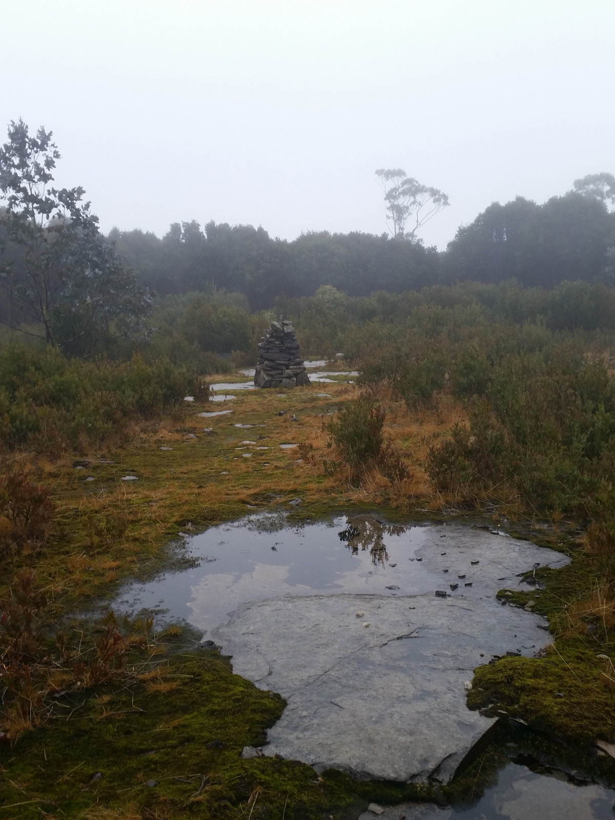
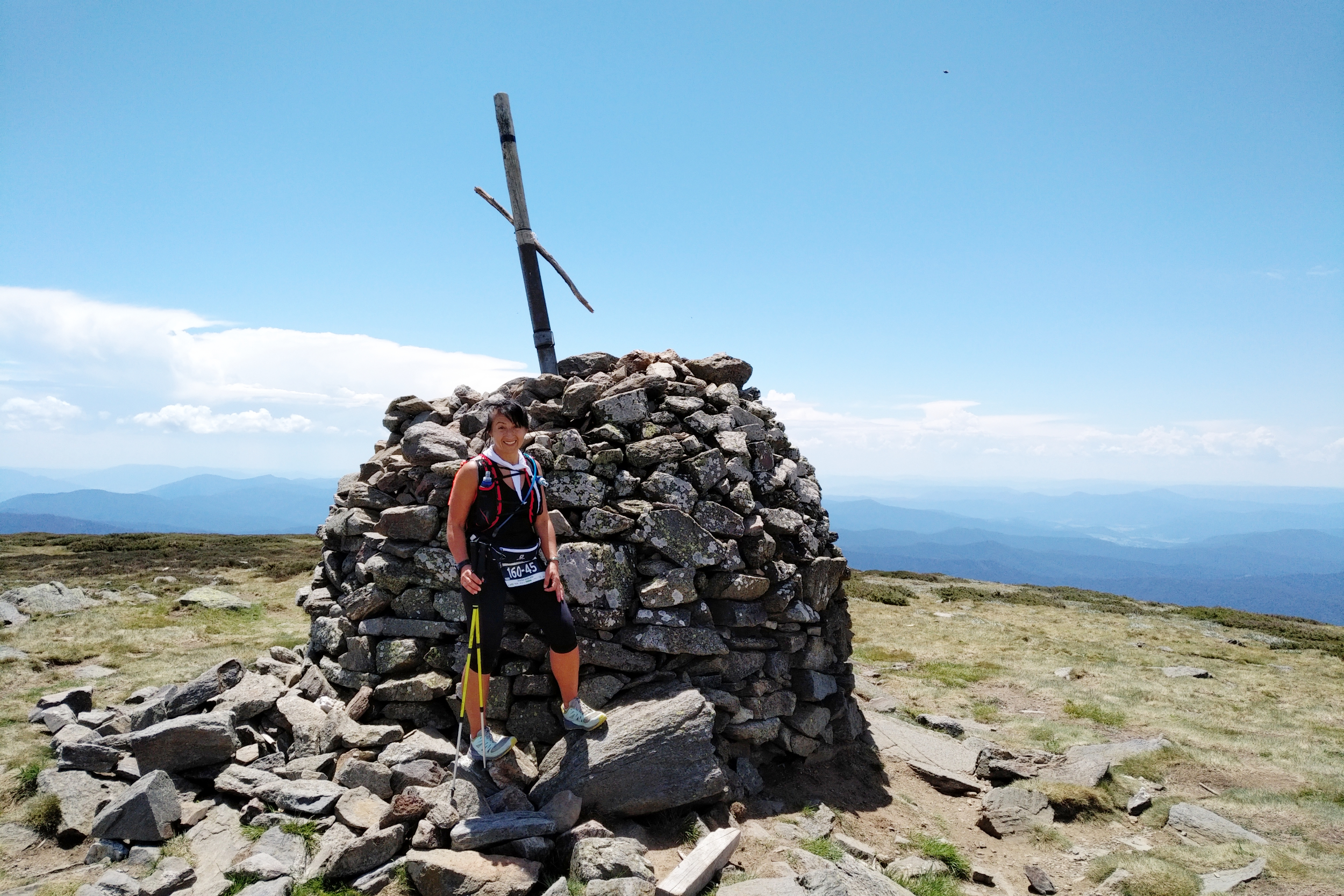
Tamyka, Steph and Thomas were already at the checkpoint, the SAAR lady nursing Thomas’ blisters. I hoped there would be some fruit, but there was none. The milk chocolate and sweets didn’t appeal, so I added an electrolyte to one of my soft flasks – it was grape!!! My favourite!! I found out it was Ian, who was the injured runner – he has rolled his ankle on the way down Duane Spur. How sad?! Then after a toilet break I continued up to Mt Bogong. It was getting warmer and warmer. Remembered one of the SAAR volunteers at the checkpoint telling me that it will be a nice breeze at the top… I was so looking forward to that. Could see the girls in front and Thomas not that far behind me. Then some hikers heading up to the cairn at Mt Bogong.
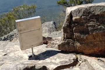
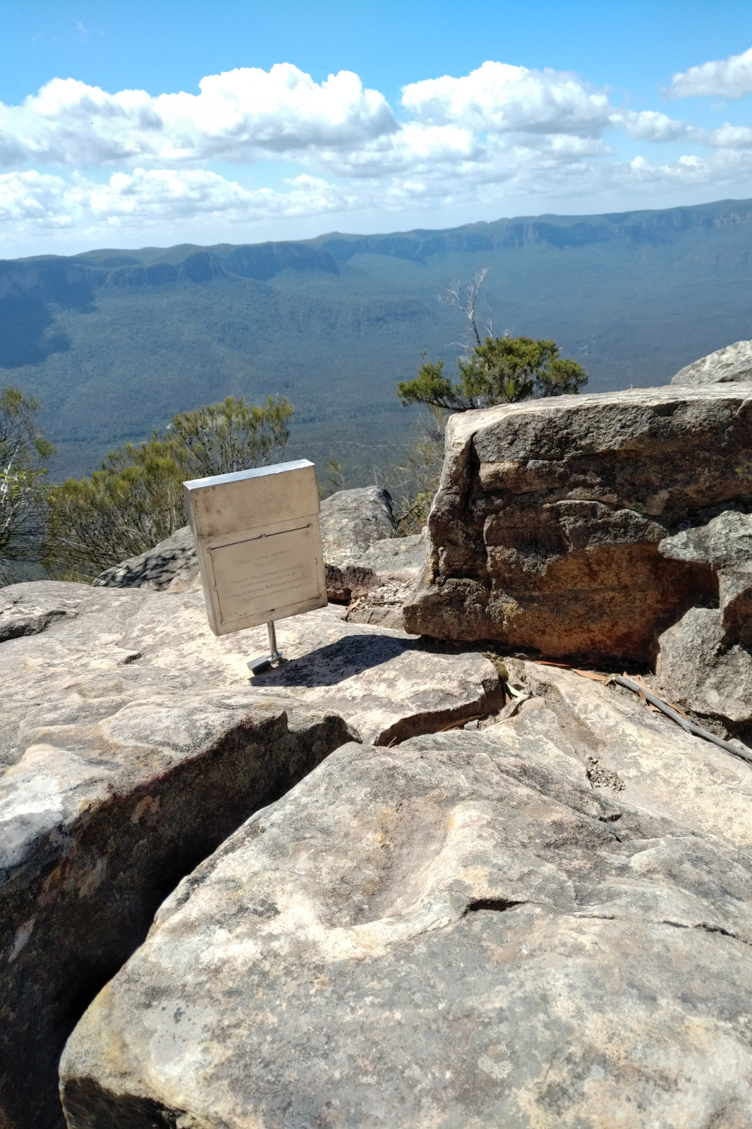
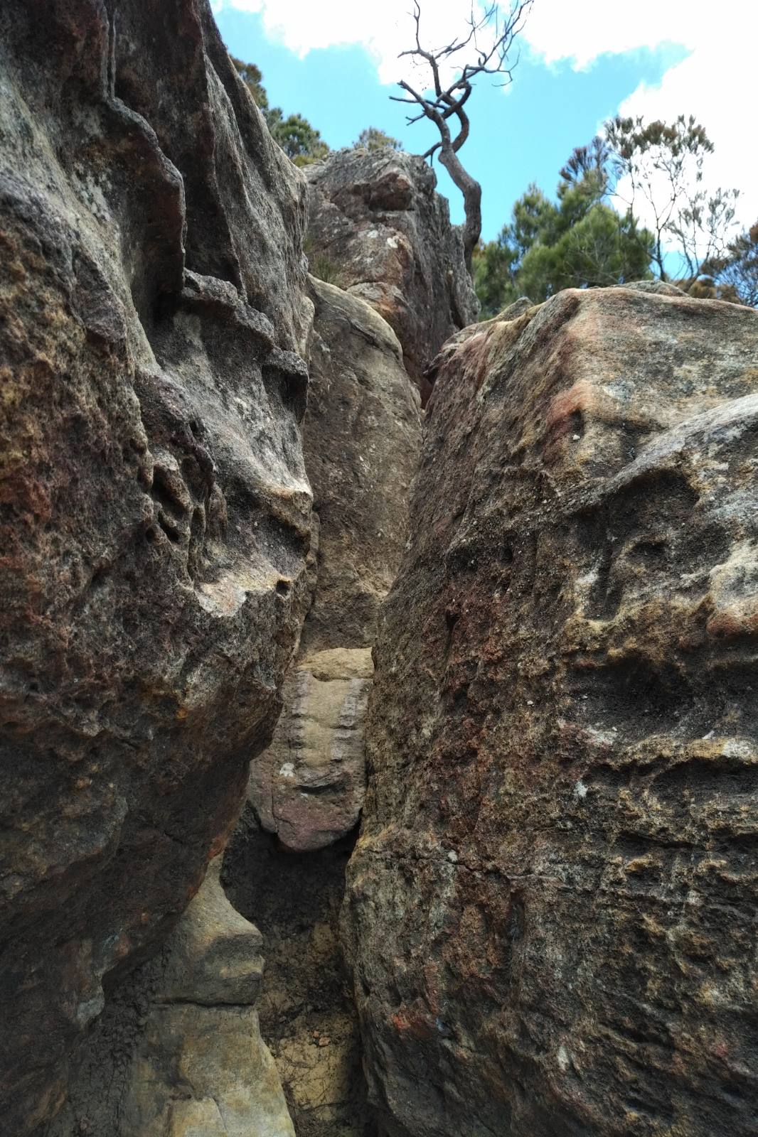
That track is as painful as the one going to Pole 333 – uneven and full of rocks! At the cairn we took some photos. Me of the tourists, then they of me, then I took a few shots of Thomas. He shot off with great energy, which I was amazed by. I called Paul and asked about Celesta. I was really worried about her and pissed at myself for forgetting to ask at Cleve Cole. Paul said as far as he knows Celesta wasn’t feeling well from Nepal, but she didn’t pull out or anything. That was good news; that she was OK.
Saw two hikers coming down, laughing, said hello. Not far, I bumped into Thomas sitting on the ground. Asked him if he was ok, he said yes, but he needs to wait until the skin dries so he can stick the tape back before he continues. Further up I saw Tamyka and Steph, tightening their laces for the downhill.
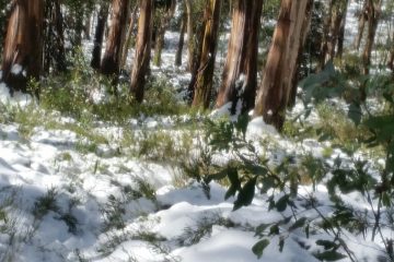
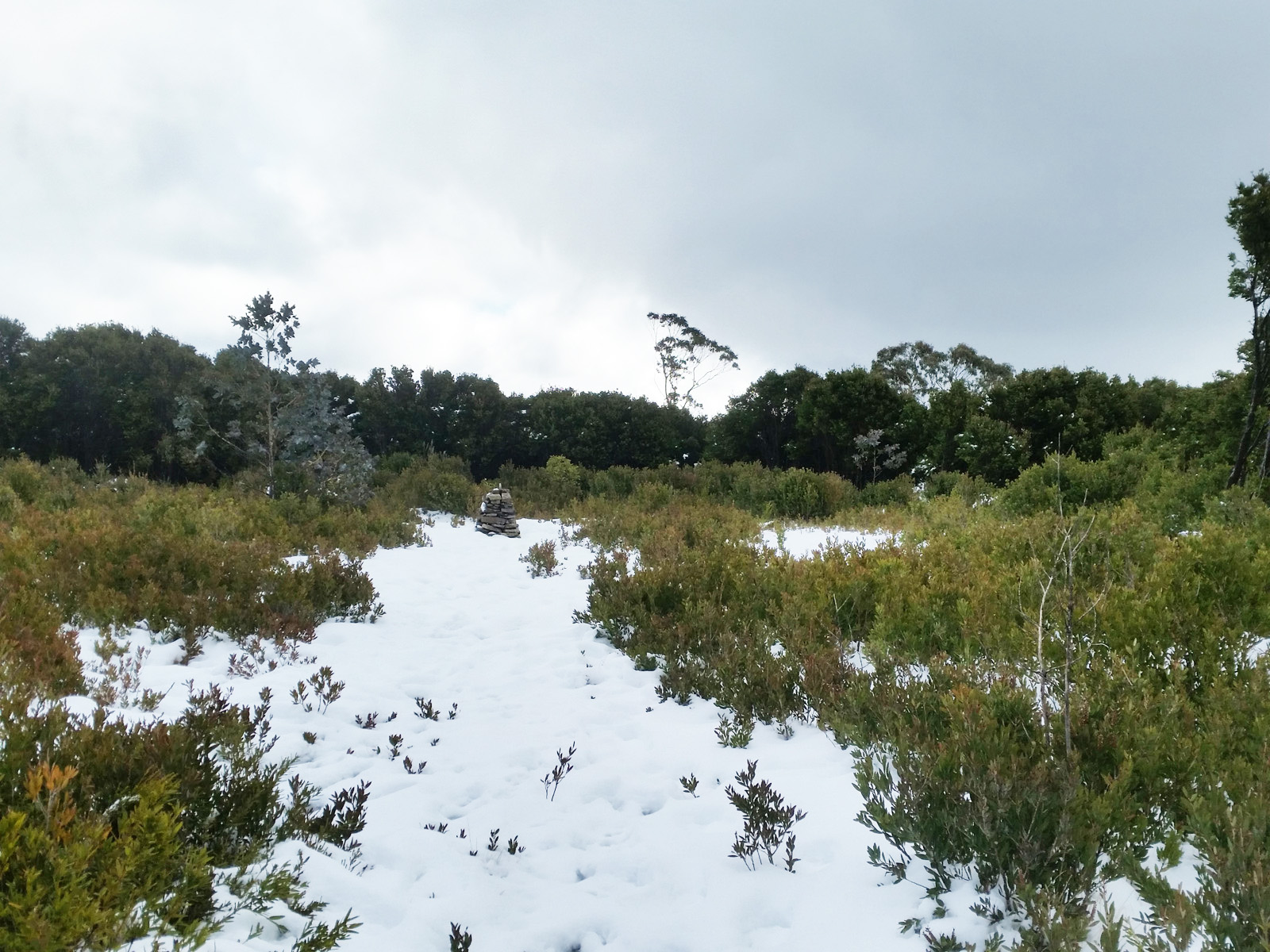
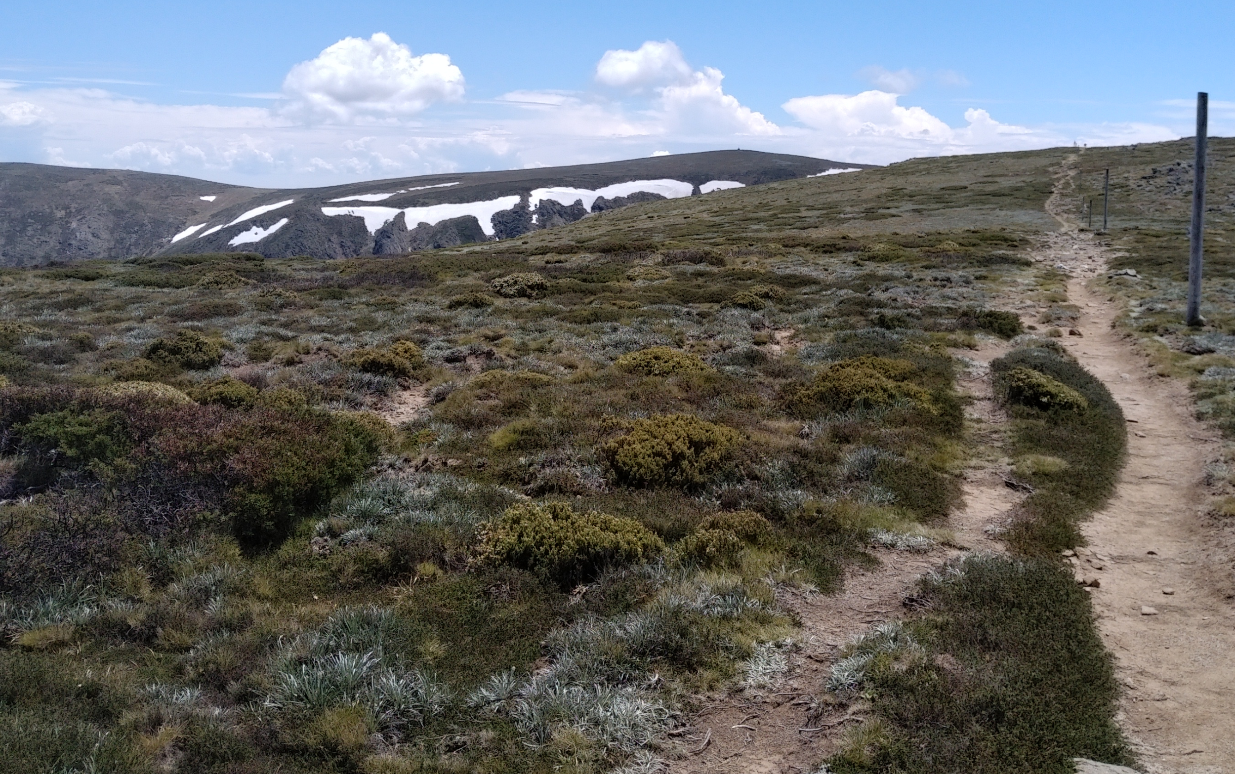
Saw some snow close to the track, thought I’d touch it, at least. Looked a bit dirty, but I scraped the top and there was the clean, icy snow. Thought it would be a great idea to fill the cloth with it and cool down my neck, skin, face, back of my head… glad I did that, it kept me cool for a couple of kms. The sole of my feet started to make themselves known – this was something new for me. Never had blisters from running. The only big blister I scored before was from a beautiful hot pink shoe in Sydney… Damn!!! I should’ve taken those shoes off at the water crossings!!! Somehow I knew from the beginning I’d be doing this to myself!
Made it down to Big River Fire Tk. I filled my flasks at the pipe, cooled my neck and washed my face in the fresh, cold water. Felt awesome! I kept looking up the track, thought the girls or Thomas would’ve caught up with me by this time… Then I continued my journey on the grassy trail down to Big River crossing. I didn’t remember this track being this beautiful.
I started to run out of food that I was happy to eat. The Bloks got a bit too much, but still the only thing that felt good at that time, maybe because they were a bit sour. I’ve packed some bite size rice with peanut butter wrapped into nori sheet – that didn’t go down well in that heat. It was perfect when we were in cold and rain with Suzie, but in the warm weather it was just sticky and hard to swallow. Same with the rice, jam and peanut butter. Brought them back all!! Didn’t feel like anything sweet – the chocolate was melting in my pack and the dates were too dry to eat (bought these beautiful Bateel Medjool Dates in Doha). I only had a half of the quarter sandwiches I’ve packed – the one with cream cheese, capers, pickles, smoked salmon and grape tomatoes, but again the heat interfered with eating the last bit.
Thought I should treat that water, I had some Micropur tablets with me. Stopped in a corner and added a pastille to both 500 ml flasks, while drinking from the small flask that I was carrying in my hand. When I got to Big River, I could hear and see more runners. Tariq was lying on the ground, I went close to him and asked if he was OK. He signaled, he is, just taking a rest. I went to fill up my small flask and wet the triangle bandage at the nearby stream, then crossed the water, worrying about wetting my phone (should’ve taken it out from the thigh pocket for this crossing). On the other side there was James and Freya, getting ready to get going and I think two more runners… not sure. I said hello and told them how great they were doing, then kept going.
James and Freya were the first to pass me, Freya switched to high speed. I thought “how good is to be young and strong?!”, then Thomas and Tamyka and Steph. Could see Thomas was struggling, we yo-yoed each other for a few more times. It was warm. Could see the clouds gathering and I was hoping there will be at least a tiny rain to cool us down a little and make this never ending climb a bit more bearable and exciting.
I started to feel the lack of nutrition, then even the sips of water weren’t feeling good. Especially since the purifying tablets made the contents of the flasks taste like Melbourne tap water. I was thinking of last year… that I was pretty much in the same state here, except I knew I have support at Warby… this time no support until Langfords. Let’s hope there is some watermelon at the Warby checkpoint.
And this is when Suzie rang, letting me know she has arrived and she’s got beer!! She asked me how I was, so I told her that I can’t eat or drink and running out of juice. She said she’ll be waiting for me at Langfords. Then she rang back and said she’ll bring me beer to Warby. I was run/walking to that point, then I realised we won’t get there at the same time, it will take her longer, so I slowed down a bit. Saw Tamyka and Steph ahead and thought “Gee, I can’t recall this uphill being this steep?!” – it’s not even steep, just looks like it from that angle and from that state (both physical and mental). I could see the tent at Warby… on the top of the hill.
Got to the checkpoint, Graham was clapping and saying encouraging words – love this guy!! – then asked me what I would like, offering all the goodies available. It was so touching. Told him my daughter will bring me beer here, he wasn’t too impressed by that and said at least have a piece of water melon, which I did, and later on I regretted not having more of that. Everyone was so nice at that checkpoint, would love to give them a huge hug. The lady was knitting and another volunteer cooking in the front of the tent. I asked Graham if it’s Ok if I get that beer along the track, instead of waiting for Suzie to get here. He said of course it, OK, so I took off, speed walking, thinking of that beer…
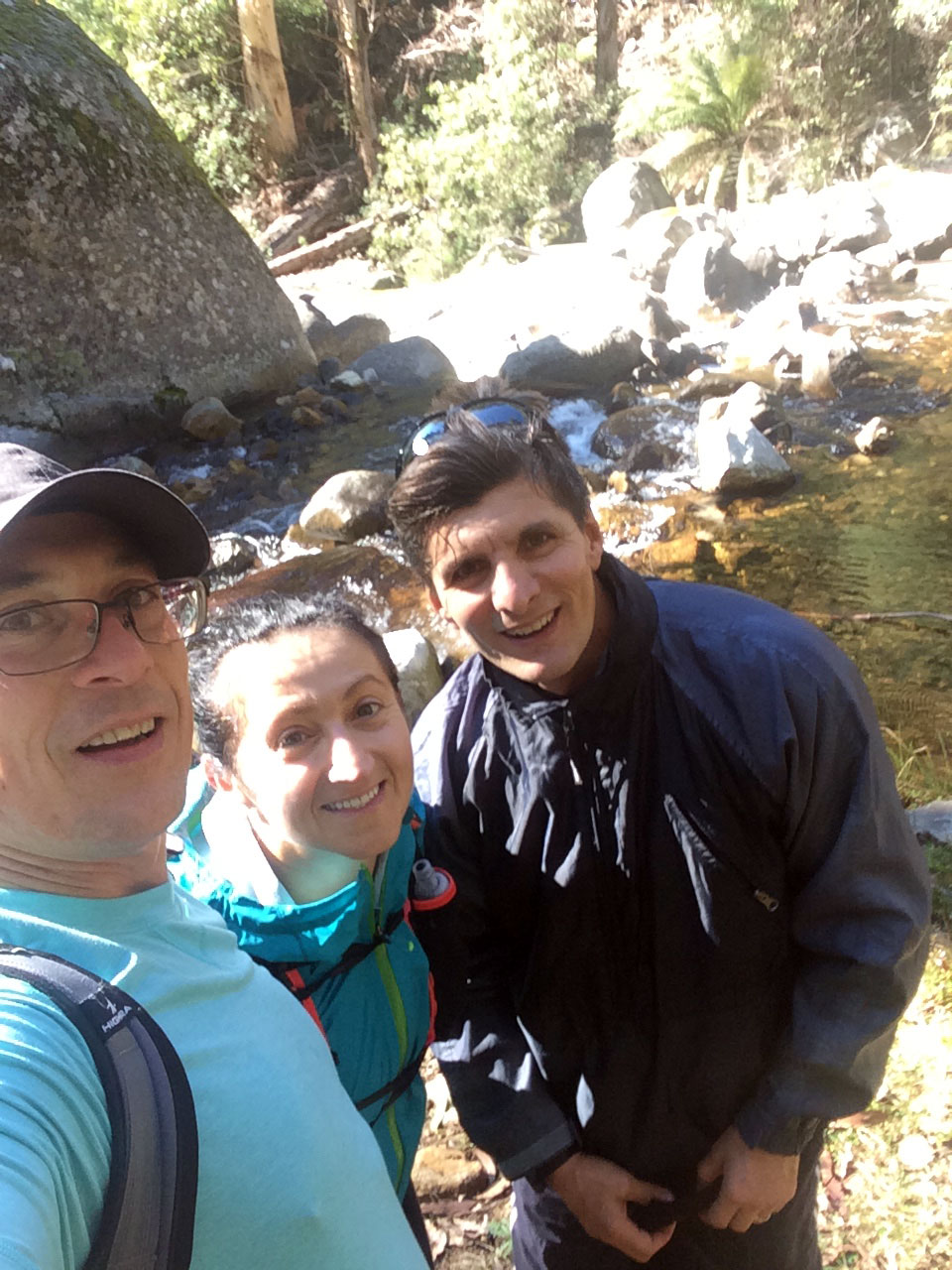
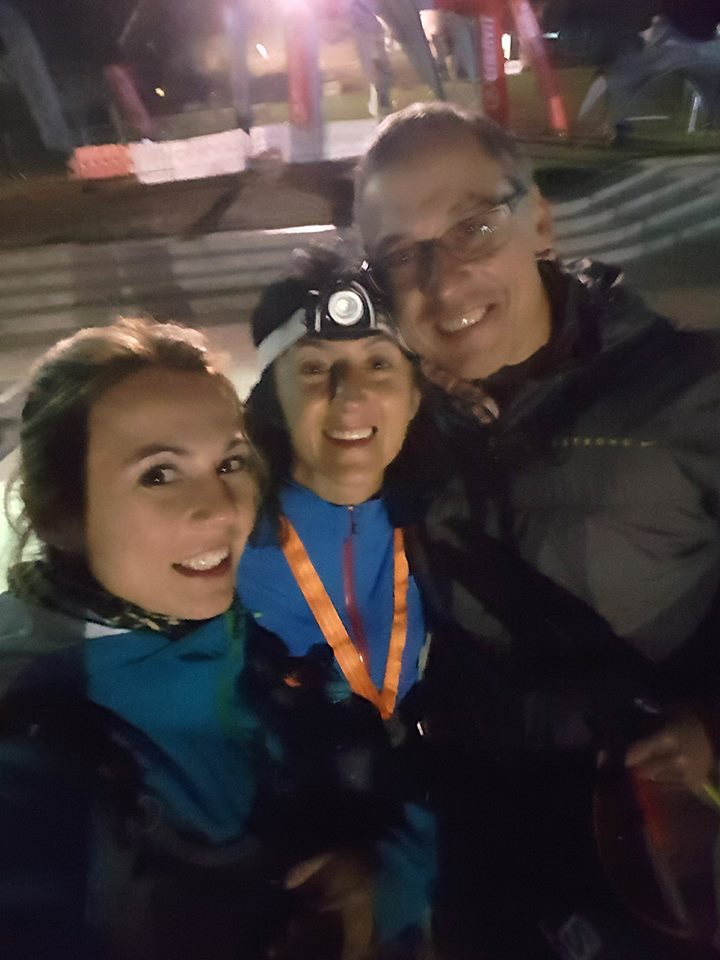
Saw a group of hikers coming, when Suzie rang, asking me how far I was because she can’t see me. Told her I must be behind the hill. Then she called me again, we spotted each other (she was wearing white, so it wasn’t hard) and started walking faster… when I was getting closer, I was thinking… “how come Suzie is walking next to that older guy?! She is not that fond of meeting new people”… looked at her smiling pretty face first, then realised the person next to her was Otto!!! What a surprise!!!! I was really happy to see them both, but knowing he was there gave me a piece of mind – he is the BOSS OF ORGANISING! He knows what to do and what to say…
We took a few pictures, Otto opened a bottle of Bright amber ale with a stone, cutting his finger in the process… I had a few sips, about half the bottle and then instantly felt better, even though watermelon and beer???!!! There is a joke about that. Otto started the reasoning why I should only do the 100 km: your feet are hurting, you haven’t done it before (not working…), Ani and Nelu can get a proper sleep, they are tired (OK, that’s a good one), Suzie can drive back tomorrow, so Nelu doesn’t have to take her car (that’s a better one), I (Otto) need some rest (fair enough, the guy is on his toes for months and burning the candle at both ends) and then the last one – we can all have a decent lunch at Bright Brewery and celebrate your birthday in some way.
Because that’s why I signed up for the miler – I turned 50 a few days earlier and thought it’s a great way to celebrate.
I said to him, I’ll think about it until Langfords. Suzie said “if you want to do it, do it! This is why we came here for and I’ll be there at Pretty Valley to do the last stage with you”. At Marum Pt Tk we said good bye, big hugs and I took off on the single trail while they started running toward Watchbed Ck.
It would be so nice to run this track with fresh feet!!! Beautiful single track, but for me at that time it was a pain in the sole of my feet. Big one! I realised there must be a blister on my left big toe, another one on the sole just under the big toe and the next and one each on the inner and outer parts of my heels… I also thought about the track from Cope Saddle Hut to Fainters… how painful that was last year in the dark and so much water on the track…
I could see the foot marks of the people who ran there before me. I was wondering how fast they were going? Did they have sore feet like me?! …then I got to the little bridge. Love that crossing! I knew I must be getting close to Langfords, I only need to go around a few corners.

Last year I did this bit with Nelu, checking nearly every pole, looking at the map in the dark. As I was getting close to the corner with the pond, Otto calls me asking how far I was and said they’ll start coming towards me. Then the hail started, hitting my head through the hood and my face. One piece hit the tip of my nose – that was unfair!!! It hurt! Took a few shots, it was beautiful. I thought I should call them and tell them to stay, it’s hailing, but then I better stepped on it. This time it didn’t feel that long and I started jogging as I was approaching the check point. They were waiting there, with an umbrella!!
I told the volunteer at the check point that I am switching to the 100 km. He asked me if I was sure. Told him I am positive. Tamyka and Steph were already there, opening their drop bags. The guy told me to go change, do whatever I need to do and then come back. I went, changed shoes – gosh my feet looked like I have spent the day in the pool, all white and wrinkled – put my overpants on, got the Ay Up out, had another few sips of beer, then watermelon at the check point. Again, I should’ve had some more or taken some with me, as eating become a real problem. I’ve been going for 20 odd kms without proper nutrition. At least I could get some more Bloks – at least those worked and I also got a quarter sandwich (with butter, cheese, salami and grape tomatoes).
Went back to the checkpoint tent and told the man I was definitely cutting back to 100 kms, then headed off. It was raining, a few more people were going back into it, James and Freya were two of those, Freya speed walking like a daemon, James worried that she doesn’t know where she’s going. My total admiration for this girl!! I just kept putting one foot in front of the other, trying to avoid the puddles and hissing and cursing every now and then, as those blisters started to yell at me.
Pulled out the phone at some point to see how far I was from Cope Hut – it seemed like it takes too long, but the map assured me I wasn’t far away. Before reaching Cope Hut, I passed James and Freya again, then finally got to the road. Crossed it and looked for that sign that used to be on the other side… well Parks Vic must have changed it, all the writing was saying was, that the Australian Alpine Walking Trak is that way. Shrugged my shoulders and headed on, feeling each and every pebble under my feet. I was waiting for the rubber bit… didn’t come until later. I could see the light going on and then off at the check point in the distance. Gosh, how many poles?! 168?! That’s about 8.3 km and the worse comes later, after I pass Cope Saddle Hut… checked the Avenza map again, didn’t seem that far. I said so many ouches and some swear words along those kilometers.
As I was approaching Cope Saddle Hut, I could hear voices… looked back and saw two head lights. Must have been James and Freya. The bit between Cope Saddle Hut (with its beautiful red roof) and Pole 333 really hurt. I was walking like a drunk person on that uneven terrain with its sharp rocks and water puddles. Couldn’t eat or drink and could feel my energy levels going low. Nevertheless, I pushed on, walking as fast as I could. Every now and then silently swearing of course.
The sky lit up with the moon and shiny stars, it was a pretty sight. At some point I thought I saw someone with a head light coming from the left (Mt Jim), but then nothing. Only a fox with its eyes in the dark… yayyy!!! There was another creature out there, not only me. Then I could see lights heading to the left towards Youngs Tk – the milers!!! Brave people, probably also hurting, maybe not that bad as me. Gosh, that checkpoint felt like miles away! When I finally reached it, checked in, assured the man I have already let someone know about the downgrade. He offered me chips and snakes; I took a pinch of chips, but could hardly eat them. He told me which way to go. I thanked him, then I said I know, last year I missed the turn – learned my lesson.
The bit between Pole 333 and Fainters seemed like the hardest stage of my journey to that point. Those blisters hurt so badly that I could cry. I just swore instead and put on the gloves, as it was getting really cold – just like last year… I had to fiddle with the gloves a little as I made the mistake of clipping them together, but then it felt good once I put them on.
When I finally got to the Fainters turnoff I saw the car the volunteer told me about and promptly turned right toward Pretty Valley. Checked the pdf map just to make sure. A 4WD appeared on the road, strong lights. When it got in line with me, it stopped and I realised it was full of SAAR people, the ones I’ve seen at Warby. One of them even told me how great I was doing. In all hat pain I asked him “compared to what?!” – he said they saw me at Warby, then he said there is a bit of a hill, then all the way down Pretty Valley. I thanked them for all their help then kept on going, trying to avoid the rocks and the puddles. Didn’t always work.
Otto and Suzie called, asking me how far I was. Told them I just got onto Fainters, there must be about 3 kms to get there. They said they were coming to Pretty Valley. Surely a few minutes (or so it seemed to me) they called again. It was a pain in the butt taking off the gloves every time, risking freezing fingers, but I know they meant well. Told Otto I could see them, then shook my head so he can see which one I was (he said he could see three lights and wanted to know which one is mine). He laughed and said they are waiting for me at the check point. Those rocks!!! Each and one of them!!! Ouch!!!

When I got nearby, I got some big hugs! That was so worth it! Then Otto asked what I wanted, so he can get it ready while I checked in. I said I’d like some of that sour cherry juice. Had some and asked him to fill one of my soft flasks with it. If there was any watermelon at the check point I would have had some, but wasn’t sure I could eat oranges at that point. Suzie was ready to go, all cheerful and happy. This is someone who trains hard with weights, doesn’t run and is normally fast asleep at that time of the night.
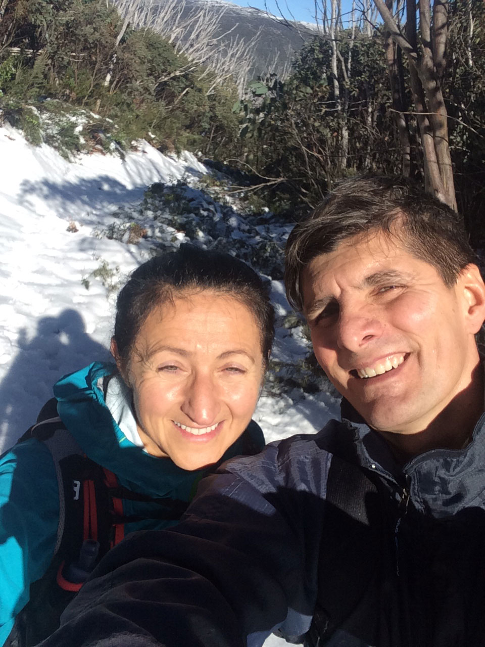
The little climb up from Pretty Valley seemed like a mountain at that point, the rocks still not going away. When we were not talking, all you could hear is the swishing of the overpants. At the camp Otto was waiting – we started calling him “tha Stalker” – just making sure we are OK. A car was heading the pond way, the driver asked if he was going in the right direction. We told him yes, he was. Must have been someone’s support – no other person in their complete mind would have been driving there at that time. We could see lights moving up and down Mt McKay, at least we knew how far we needed to go.
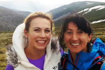
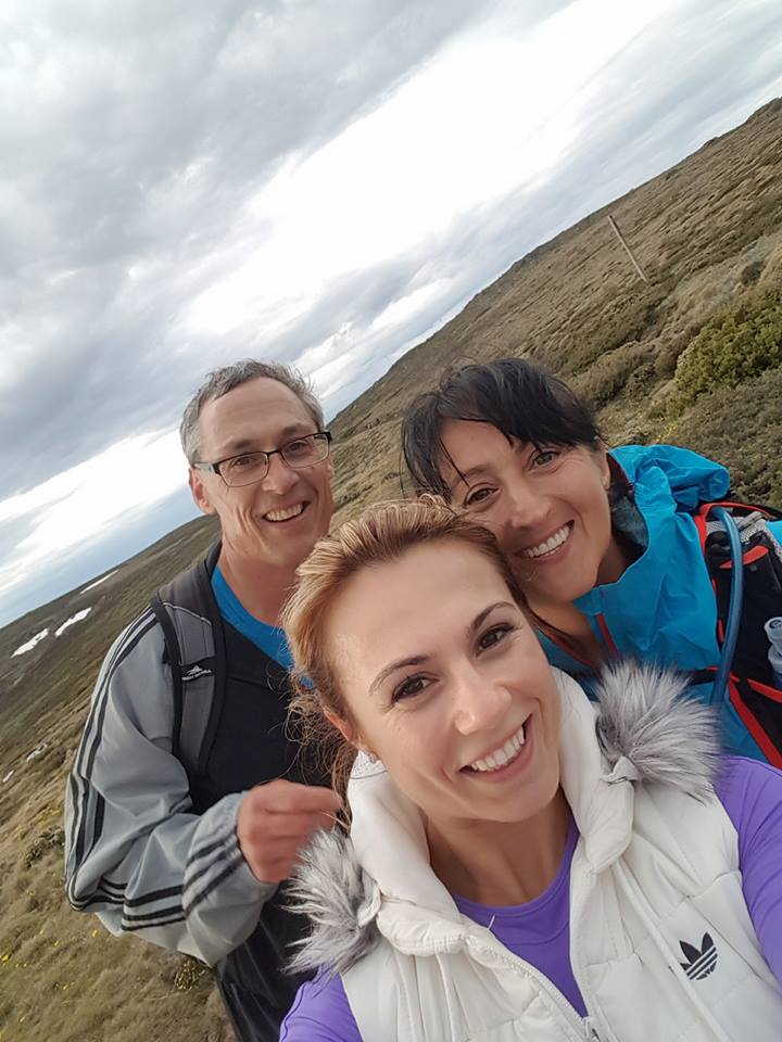
I was watching this young, strong woman – my daughter. She made it look like walking up the hill way after midnight, all geared up, supporting her crazy mum was the most natural thing in the world. And I was so proud!!! We haven’t done anything together since she moved out about 6 years ago and now here we are second time in a week doing this crazy shit that makes me tick. She still has the little girl charm I always loved about her, but now she is a real tough cookie, as well. My total admiration.
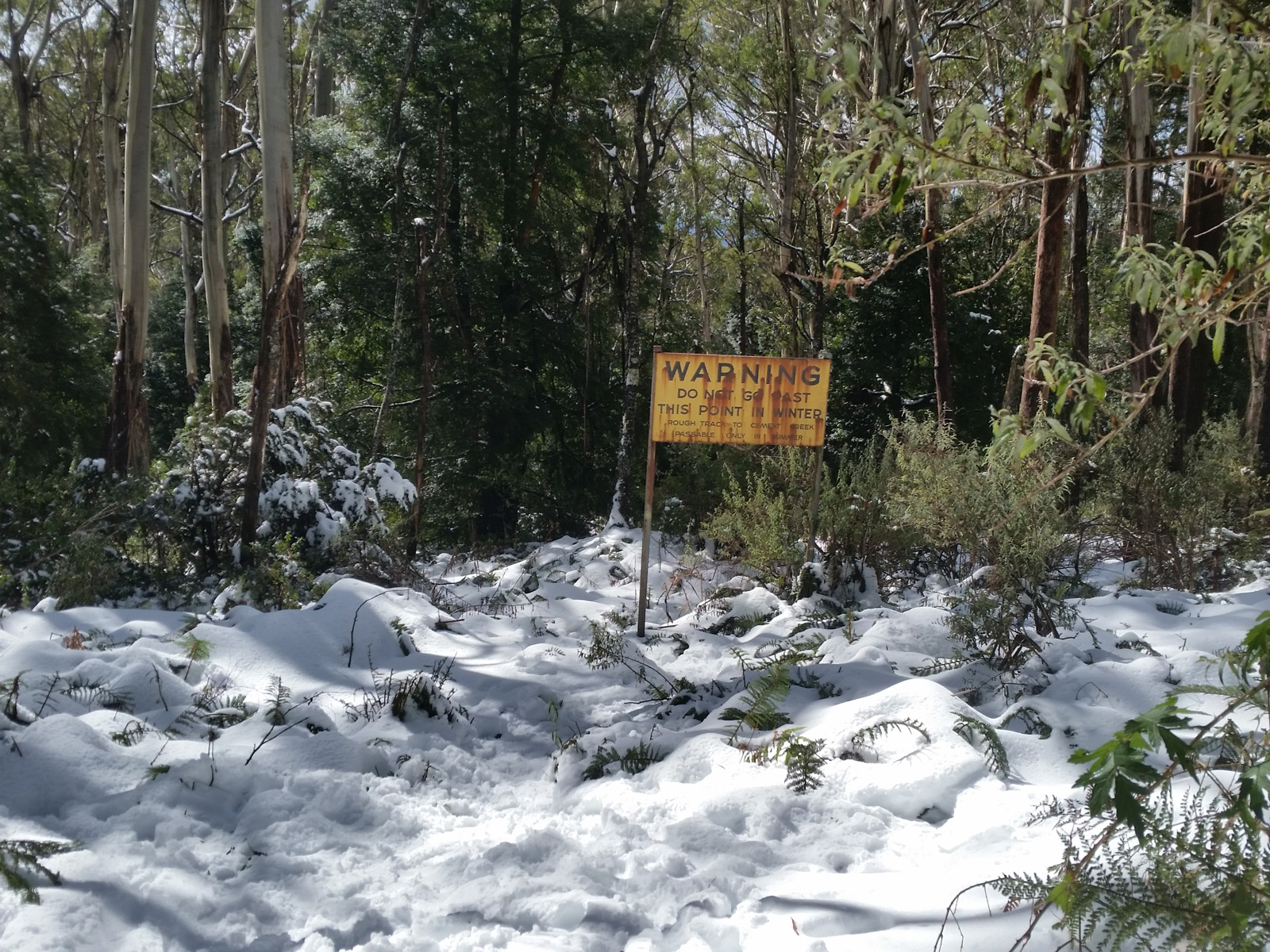
As we were going up Mt McKay, runners were coming down, didn’t look up so I won’t blind them and ended up calling Todd – Sean… we had a laugh, wished each other all the best then went on. I thought we’ll never get to the top! Suzie checked out the snow. It was dirty, but it was snow. We talked about how different is now, compared to when we were here last time. At least is not raining… at the shelter we took a few shots after Suzie closed the door. Someone must have left it open. As we were coming down on that rocky road, we realised there were two runners going on the side, in the grass… Suzie asked if they were cutting it short, when we realised the orange markers there. It was us, who missed the course – well, we made the most of it, going around instead.
Each and every little rock, pebble and maybe sand hurt my feet at that point. Everything else was ok, but the soles. When we got to the bottom and about to cross the road, someone on the left greeted us – it was Paul, doing the sweeping. Tamyka and Steph (they were the two runners going to the shelter earlier) passed us and nearly went on the road, when Paul told them he’ll disqualify them if they won’t take the marked path across the shrubs. They laughed and went on chatting away cheerfully. Suzie and I followed path, looking for the markers. My Ay Up started to fade. I should’ve been disappointed in that highly regarded torch, but I knew very well it was my mistake not fully charging it before I left.
After a while the girls (Tamyka and Steph) disappeared, we were wondering if they took the wrong turn… because it looked as they were heading to the right, and I knew we’d need to go left after this trail. Suzie mentioned that this is indeed a pain in the ass – this track. It’s so uneven! Finally we got onto the Pretty Valley Rd so I could “enjoy” the rocks a little bit more.
As we were walking and talking, wondering how long we’ve got to go, Suzie held my hand. I thought that’s nice! We haven’t done that in ages!! Then she went on and asked whether I saw any animals on my way. Told her I only saw birds and a fox. And ants and lizards. Nothing else. Then she asked if I wasn’t scared alone, in the dark. Told her there is nothing to be afraid of. You are there in nature, not many people come this far. She said she would be shitting herself. “Really?!” – I asked. Then she “Why do you think I am holding your hand?!” – if I wasn’t hurting that much I would’ve pissed myself laughing. It was so funny!! Then we went on to talk about horror movies and what we were scared of when alone at home.
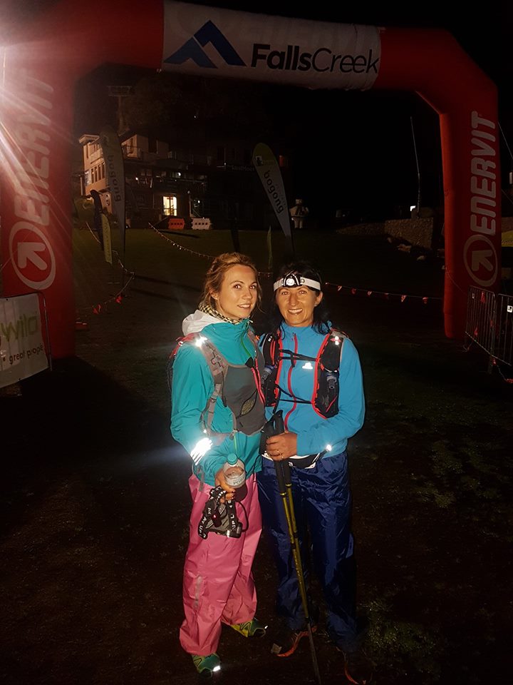
She has recognised some points we’ve passed when we came here the other week and we realised we must be close to The Last Hoot. Sure there was the sign to the left and onto the grass. That grass bit… gosh it was hurting!! Uneven and curly. I didn’t remember it this long from last year. We were looking for the finish line lights, when we could hear some “Whoo hoo!!” – recognised Otto’s voice. Made sure we ran into the chute and were greeted by a volunteer and Otto. The clock was showing 23.01. Big hugs, pictures, then off to the final check point. I showed my number, handed in the PLB and kindly asked the gentleman to put the medal around my neck. He took it out the plastic bag and did, remarking that I surely deserve to have it hung around my neck.
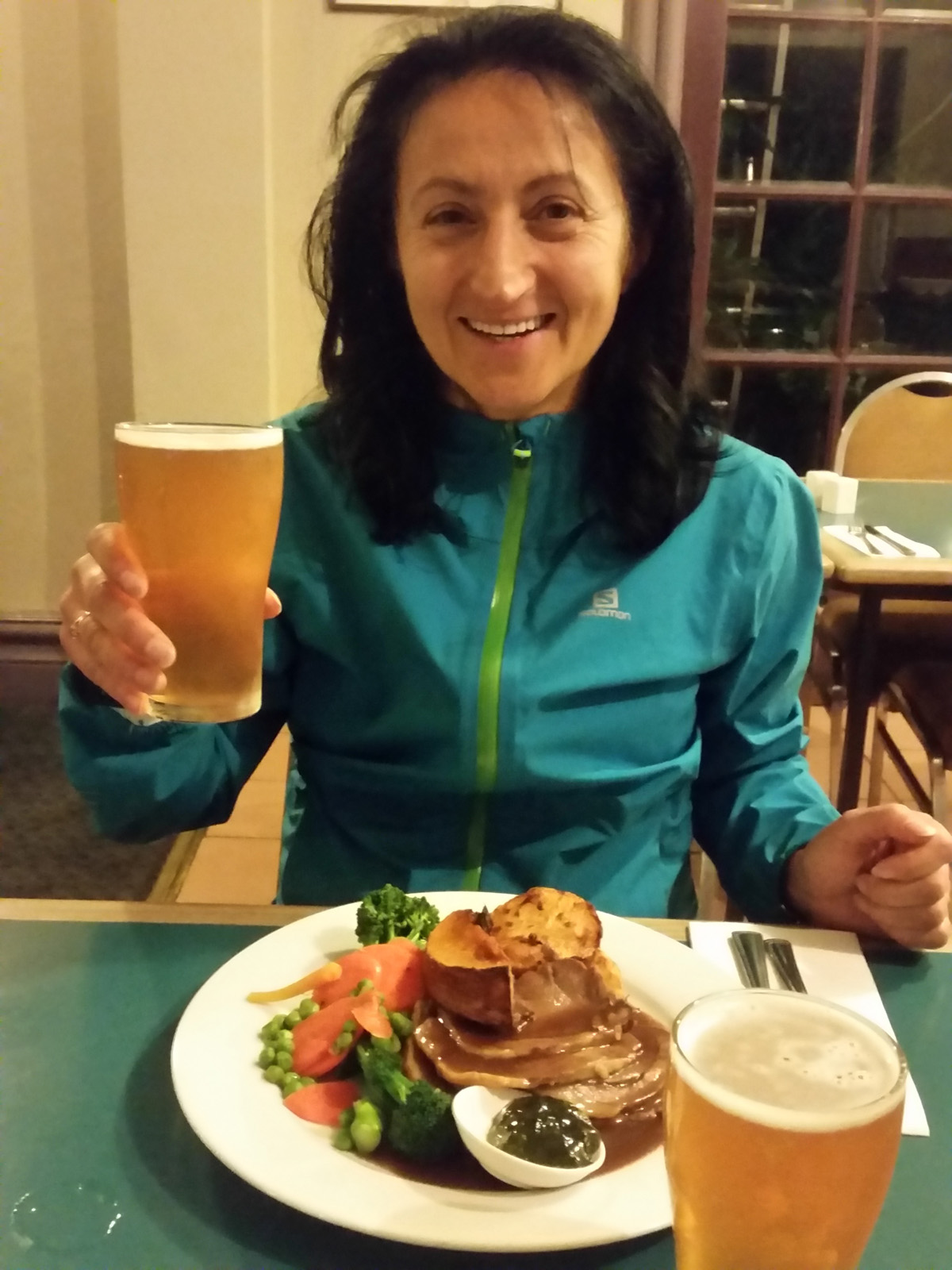
I thanked him, said hello to Todd, Tamyka and Steph, then headed out. Wanted to walk to the hotel, but Suzie thought I was nuts, so I got into the car, then had a shower, a beer and went to bed. I was really scared not to break the blisters in my sleep, it would have stained the bed linen. We woke up around 10.30?? called Nelu to see what we are going to do. We decided to catch up with them in Bright at the brewery for lunch, then drive back, pack up and drive home, while Suzie and them to drive home straight from Bright.
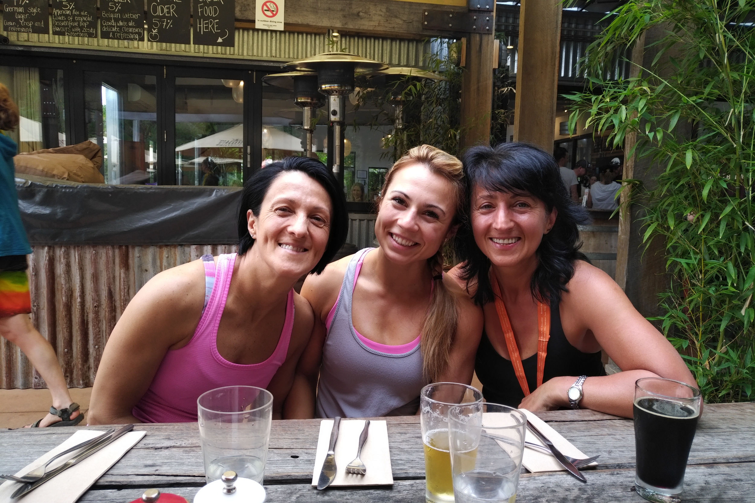
Had a great time at the Brewery. I asked for the ribs. I was hungry. And the matching beer. But I couldn’t eat even half of it + 2 slices of pizza. Celesta came by and we talked about how it went. She told me she pulled out at Warby 2 – she didn’t have her heart in it. This is impressive, going that far with a chest infection.
While we were there, a band was setting up. It would have been nice to stay there a little longer, but we had to break it up. We said good bye in the parking lot and Ani, Nelu and Suzie headed towards Melbourne, while Otto and I back to Falls Creek. We went to HQ to check out how everyone is going: someone just finished. I congratulated him and asked how he went. He said he just finished. Dan [Beard] was on the phone, would’ve loved to congratulate him. Paul thought it was a wise decision to change distance, then there was Jacqui, who did the same because of her hips. We had a little chat, checked out the chart, then headed off bumping into Carol on our way. Big hug from her.
At the end of the day I have done what I should’ve done a year ago 🙂 finish the 100 km in a decent time 23:01. I didn’t get what I really wanted – the miler – but I had a great time with my family, the runners on the course and the volunteers. I am eternally grateful for everything they’ve done for me. Even if it was a nod. It all counts.
Gear
- Lululemon top and crop – top was old, the crop relatively new, but it worked, I’ll keep doing long distances in this. I like the thigh pocket, I can put the phone in it, keeping it at hand. Miss the back zippered pocket, though. None of them gave me a chafe.
- Lululemon socks – might need to swap them for newer ones
- Salomon Sense Pro Max shoes from start to Langfords – they are not that breathable as they claim to be. The Sense Mantras I first had were more reliable in this department.
- Langfords to finish – Asics Fuji Trabucco – these are really good but not for this occasion. I mean running/walking with blisters. I’ve got many kms in them and their soles are quite thin.
- Bonatti jacket – they were perfect to keep the rain away, but I was a tad cold when the temperatures got low. If I have put on the thermals, it would’ve been the best combination, just couldn’t be bothered.
- Waterproof pants – Rainbird??? Something from Anaconda. Very cheap and effective. Worked a charm in those scratchy bushy areas.
- Salomon S-Lab Advanced Skin 3 12 set hydration pack with 2 x 500 ml and 1 x 125 ml soft flasks. I had the 1.5 l bladder with me until Langfords, but never used it. Carried it for backup.
- XTM gloves
- Thermals – polypropylene
- PLB and heat pack as supplied by RW
Food
- Toasted quarter sandwiches – butter, cheese, Revilla salami and grape tomatoes; philly, capers, pickled cucumber (in a paste) with whiskey cured Huon salmon and grape tomatoes – not sure exactly how many I had. Maybe 4-5??
- Chocolate – had very little, maybe 2- 3 pieces. With crystallised ginger twice
- Date – ½ it was too dry
- Mandarins – had about 6
- Mountain Berry Bloks – lots of them. They were a bit sour, which was perfect for me at the time
- VFuel Gel – 1 and a bit. Didn’t go down well on Timms Spur
- Rice with peanut butter and home made strawberry jam – 2 pieces. Couldn’t handle them
- Rice with peanut butter in nori sheets – 1 small ball. Couldn’t have any more
- Watermelon – from checkpoints
- Chips – very little from checkpoint
- Beer – about ¾ bottle all up
- Sour cherry juice – about 500 ml
- Electrolyte – 125 ml home made (boiled potatoes, carrots, celery, parsnips, turnips) and 1 tablet of
- Fizz Grape
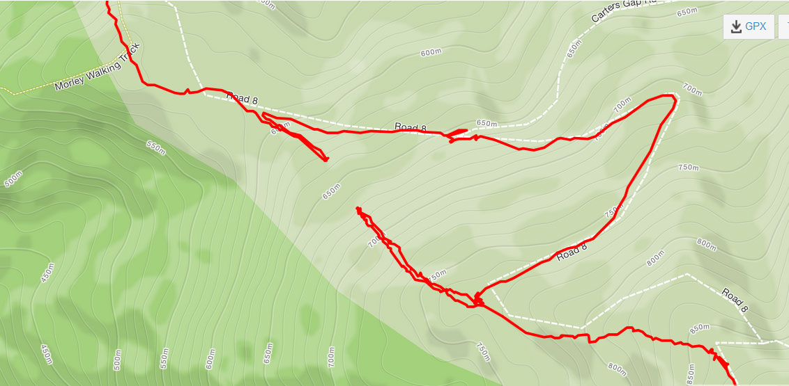
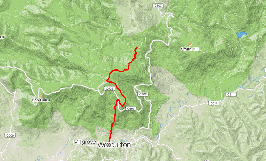
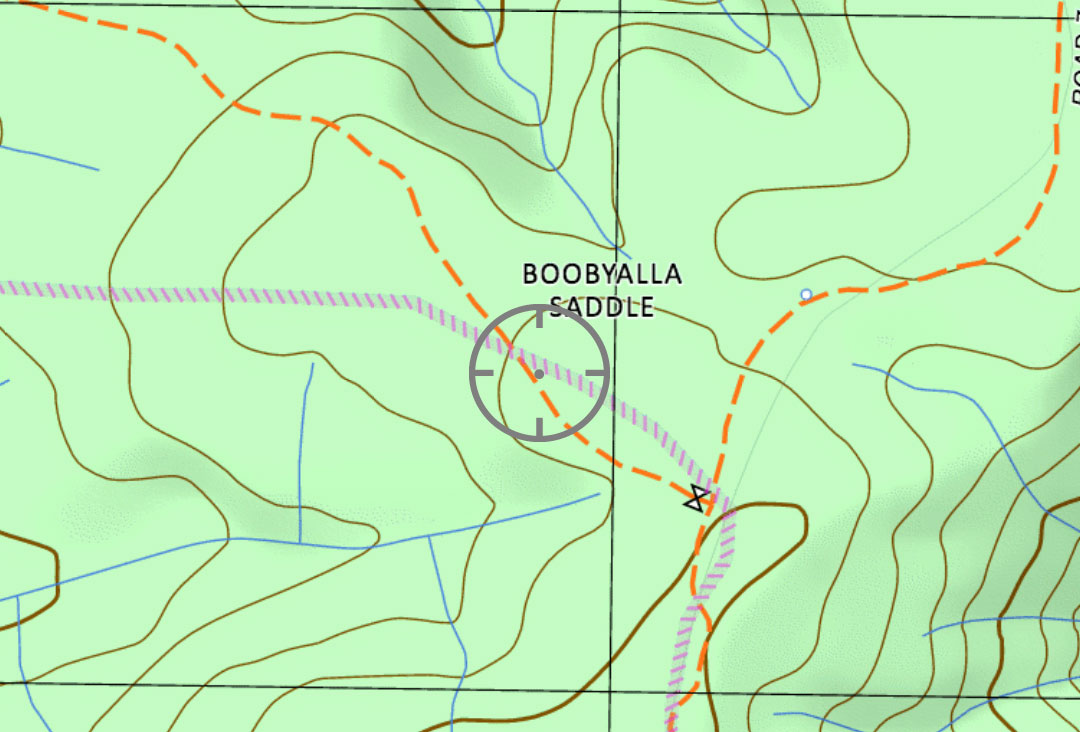
Map
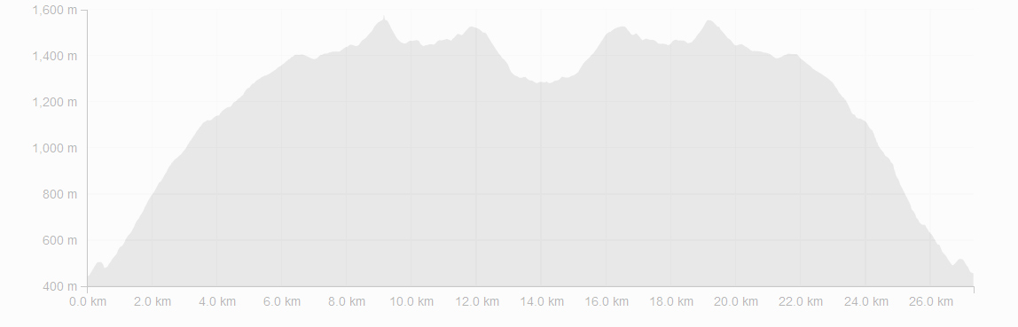
Max elevation: 1979 m
Min elevation: 892 m
Total climbing: 4094 m
Total descent: -4079 m
Total time: 23:01:33